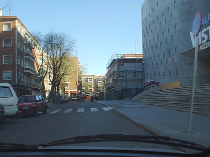
Leganés, Madrid
Map
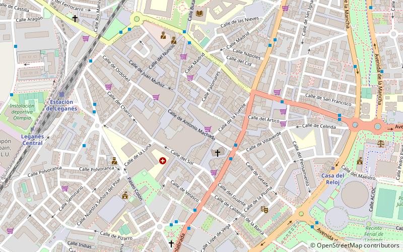
Map

Facts and practical information
Leganés is a city in the Community of Madrid, Spain. Considered part of the Madrid metropolitan area, it is located about 11 km southwest of the centre of Madrid. As of 2018, it has a population of 188,425, making it the region's fifth most populated municipality. It covers an area of 43.09 km2 and it is located at 667 m over sea level. ()
Address
Leganés (Centro de Leganés)Madrid
ContactAdd
Social media
Add
Day trips
Leganés – popular in the area (distance from the attraction)
Nearby attractions include: Palacio Vistalegre, Museum of Aeronautics and Astronautics, Coliseum Alfonso Pérez, Estadio Municipal de Santo Domingo.
Frequently Asked Questions (FAQ)
How to get to Leganés by public transport?
The nearest stations to Leganés:
Bus
Metro
Train
Bus
- Av.Fuenlabrada - Pza. España • Lines: 484, 491, 492 (3 min walk)
- Av.Fuenlabrada - Getafe • Lines: 484, 491, 492, 493, 497 (3 min walk)
Metro
- Casa del Reloj • Lines: L12 (9 min walk)
- Leganés Central • Lines: L12 (10 min walk)
Train
- Estación de Leganés (9 min walk)
- Zarzaquemada (32 min walk)
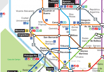 Metro
Metro

