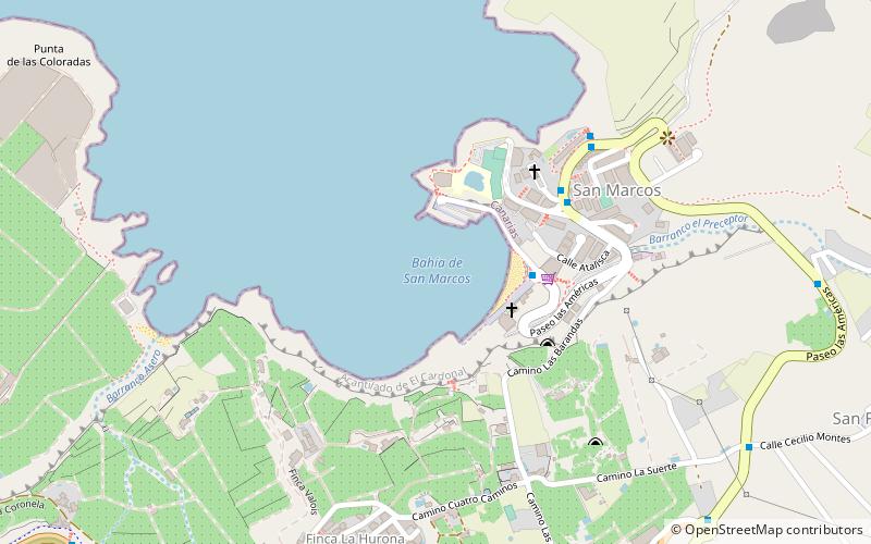
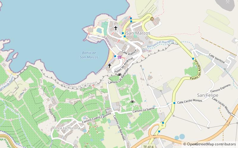
Playa de San Marcos, Icod de los Vinos
Facts and practical information
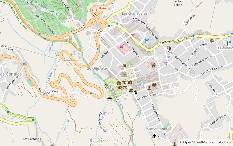
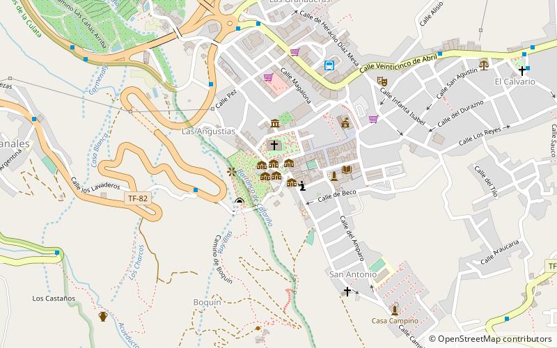
Playa de San Marcos is a place located in Icod de los Vinos (Canary Islands autonomous community) and belongs to the category of beach, park, outdoor activities.
It is situated at an altitude of 0 feet, and its geographical coordinates are 28°22'41"N latitude and 16°43'31"W longitude.
Planning a visit to this place, one can easily and conveniently get there by public transportation. Playa de San Marcos is a short distance from the following public transport stations: Playa San Marcos (bus, 3 min walk).
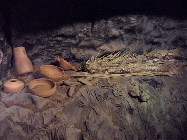
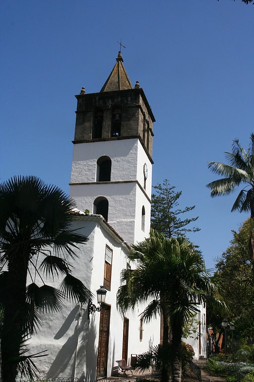
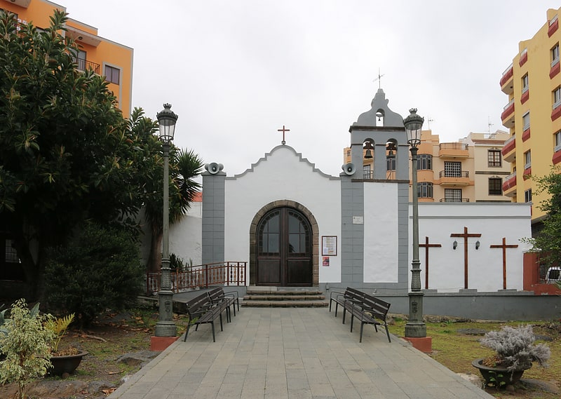
Among other places and attractions worth visiting in the area are: Cave of the Guanches (archaeological site, 5 min walk), Museo Guanche (specialty museum, 18 min walk), Molino de Agua de las Angustias (watermill, 19 min walk).
Icod de los Vinos
- Bus
 Bus
Bus
- Calculate routePlaya San Marcos 3 min walk
- Calculate routeLa Barriada 5 min walk
- Calculate routeMony 7 min walk
- Calculate routeLourdes 7 min walk
Frequently Asked Questions (FAQ)
Which popular attractions are close to Playa de San Marcos?
How to get to Playa de San Marcos by public transport?
Bus
- Playa San Marcos • Lines: 362 (3 min walk)
- La Barriada • Lines: 362 (5 min walk)