Dragos, Los Cancajos
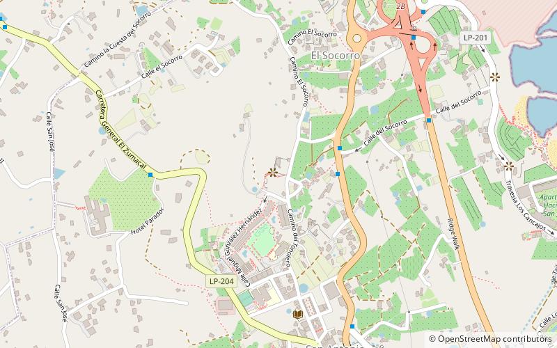
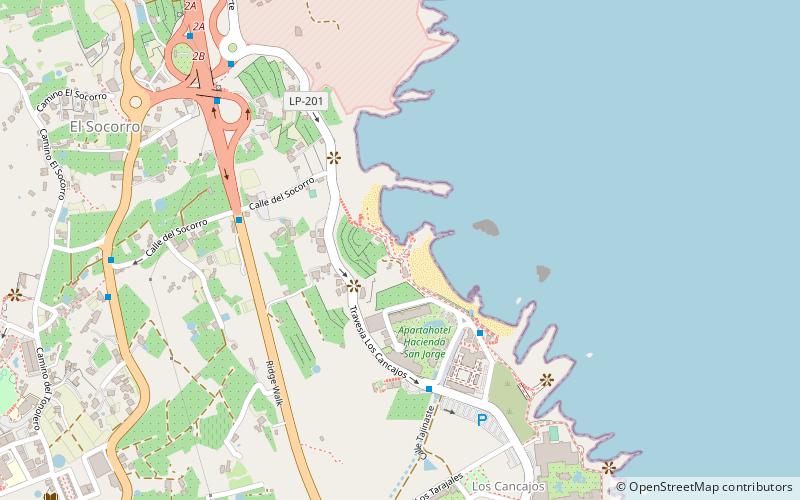
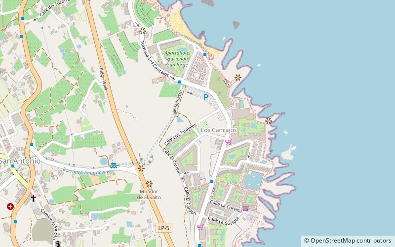
Map
Facts and practical information
Dragos is a place located in Los Cancajos (Canary Islands autonomous community) and belongs to the category of tree.
It is situated at an altitude of 436 feet, and its geographical coordinates are 28°39'9"N latitude and 17°46'9"W longitude.
Among other places and attractions worth visiting in the area are: Carretera de la Grama (bridge, 12 min walk), Playa los Cancajos (beach, 13 min walk), Iglesia de San José (church, 15 min walk).
Coordinates: 28°39'9"N, 17°46'9"W
Address
Los Cancajos
ContactAdd
Social media
Add
Day trips


Frequently Asked Questions (FAQ)
Which popular attractions are close to Dragos?
Nearby attractions include Carretera de la Grama, Los Cancajos (12 min walk), Playa los Cancajos, Los Cancajos (13 min walk), Iglesia de San José, Los Cancajos (15 min walk), Playa de Los Guinchos, Los Cancajos (19 min walk).