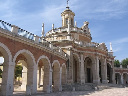
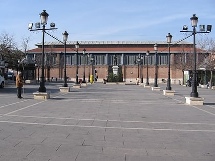
Casa de Infantes, Aranjuez
Map
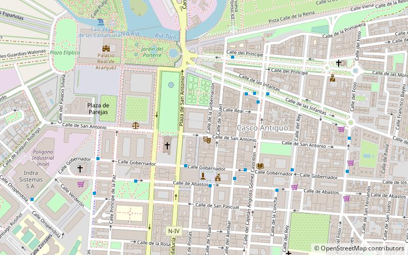
Map

Facts and practical information
The Casa de Infantes is a civil building in the Spanish city of Aranjuez, in the Community of Madrid. It has the status of Bien de Interés Cultural.
Architectural style: NeoclassicismCoordinates: 40°2'2"N, 3°36'15"W
Address
Aranjuez
ContactAdd
Social media
Add
Day trips
Casa de Infantes – popular in the area (distance from the attraction)
Nearby attractions include: Royal Palace of Aranjuez, San Antonio de Padua, Convento de San Pascual, Iglesia de Alpajés.
Frequently Asked Questions (FAQ)
Which popular attractions are close to Casa de Infantes?
Nearby attractions include Estatua de la reina Isabel II, Aranjuez (2 min walk), San Antonio de Padua, Aranjuez (3 min walk), Royal Palace of Aranjuez, Aranjuez (8 min walk), Iglesia de Alpajés, Aranjuez (9 min walk).
How to get to Casa de Infantes by public transport?
The nearest stations to Casa de Infantes:
Bus
Train
Bus
- Bus station (4 min walk)
- Bus Alsa • Lines: 410, 423 (4 min walk)
Train
- Aranjuez (20 min walk)


