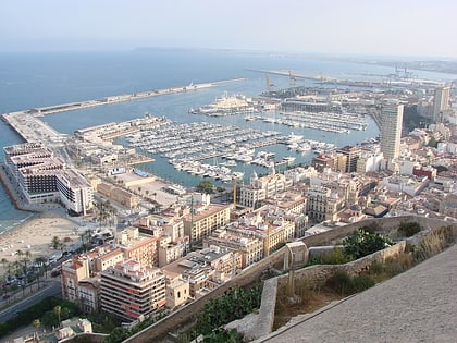
Playa de la Almadraba, Alicante

Facts and practical information
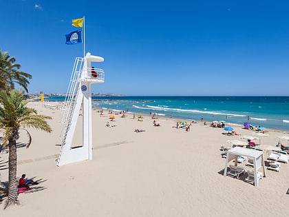
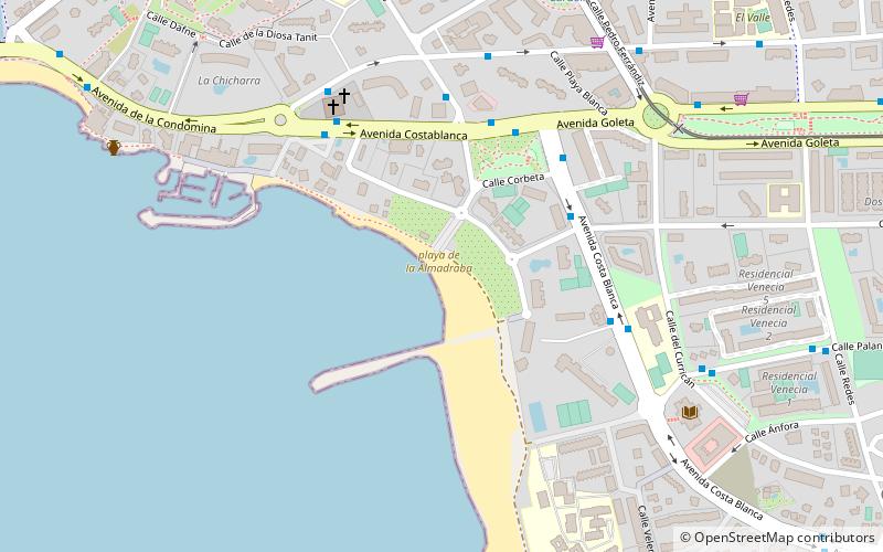
The Almadraba beach of Alicante is a small beach of rocks and dark sand that presents a high degree of occupation due to its calm waters. It is located between the Albufereta beach, to the south and from which it is separated by a small yacht club, and Cabo de las Huertas, to the north. It is located next to large buildings and is easily accessible. Due to the fact that it is small it does not have night surveillance, so it is a place for drinking and drinking, especially in summer.
La Almadraba is a unique beach. Underneath, a subway river of fresh water flows into the sea, which makes it look like a muddy beach.
Cabo de las HuertasAlicante
Playa de la Almadraba – popular in the area (distance from the attraction)
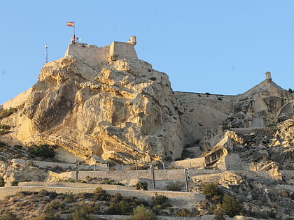
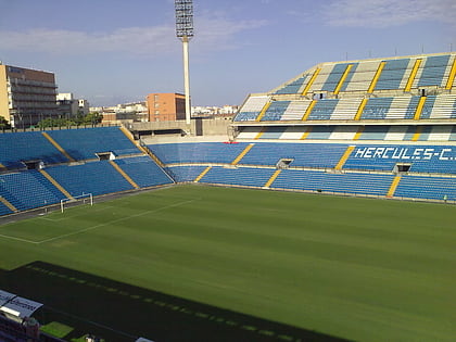
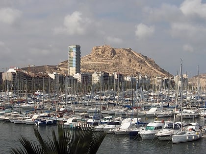
Nearby attractions include: Castell de la Santa Bàrbara, Estadio José Rico Pérez, Mount Benacantil, Playa del Postiguet.
Frequently Asked Questions (FAQ)
How to get to Playa de la Almadraba by public transport?
Bus
- Costa Blanca, 14 • Lines: 22, 22N, 38 (4 min walk)
- Costa Blanca - Adolfo Suárez IV • Lines: 21, 21N, 22, 22N, 38 (5 min walk)
Tram
- Sergio Cardell • Lines: L4 (9 min walk)
- Tridente • Lines: L4 (14 min walk)

