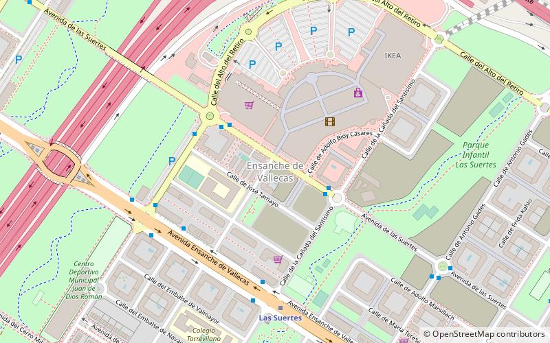
Ensanche de Vallecas, Madrid
Map
Facts and practical information
Ensanche de Vallecas is an administrative neighborhood of Madrid, belonging to the district of Villa de Vallecas. ()
Address
Casco Histórico de VallecasMadrid
ContactAdd
Social media
Add
Getting there by public transportation
Public transportation stops near this location
- Metro
- Bus
 Metro
Metro
- Calculate routeAv. de las Suertes - Cañada del Santísimo 3 min walk
- Calculate routeEnsanche de Vallecas Nº 55 5 min walk
- Calculate routeEnsanche Vallecas - Cañada del Santísimo 6 min walk
- Calculate routeLas Suertes 6 min walk
- Calculate routeValdecarros 16 min walk
- Calculate routeLa Gavia 19 min walk
- Calculate routeCongosto 28 min walk
Maps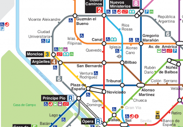 Metro
Metro
MetroDay trips


Frequently Asked Questions (FAQ)
How to get to Ensanche de Vallecas by public transport?
The nearest stations to Ensanche de Vallecas:
Bus
Metro
Bus
- Av. de las Suertes - Cañada del Santísimo • Lines: 142, N9 (3 min walk)
- Ensanche de Vallecas Nº 55 • Lines: 145 (5 min walk)
Metro
- Las Suertes • Lines: L1 (6 min walk)
- Valdecarros • Lines: L1 (16 min walk)