Vallecas, Madrid
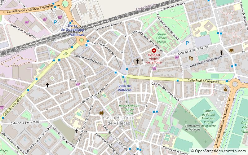
Map
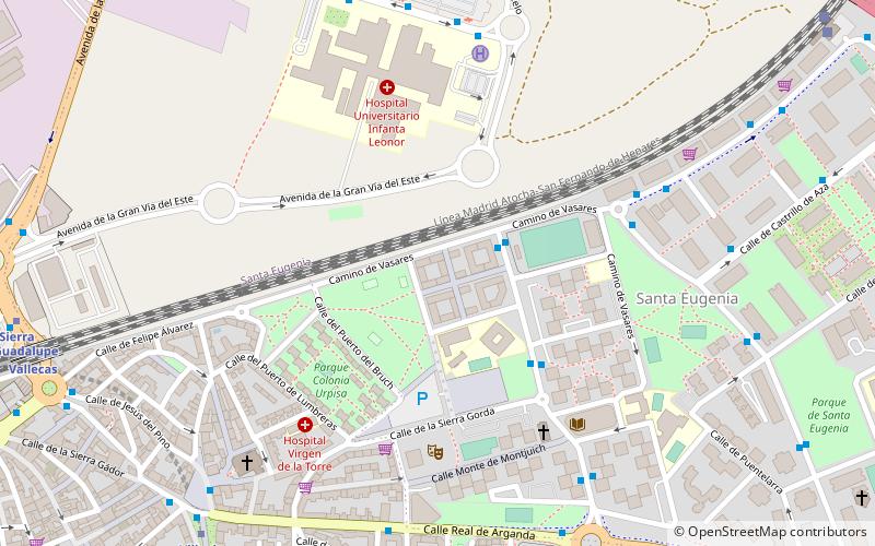
Map

Facts and practical information
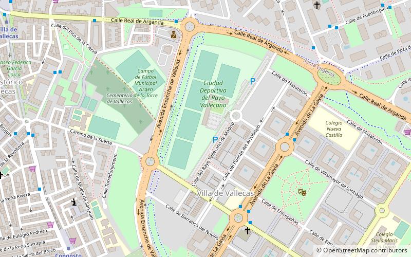
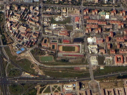
Vallecas was a municipality of Spain that disappeared as such in 1950, when its annexation to the Municipality of Madrid was effectuated. Nowadays it is a large neighborhood of Madrid composed of two districts: Puente de Vallecas and Villa de Vallecas. ()
Address
Casco Histórico de VallecasMadrid
ContactAdd
Social media
Add
Day trips
Vallecas – popular in the area (distance from the attraction)
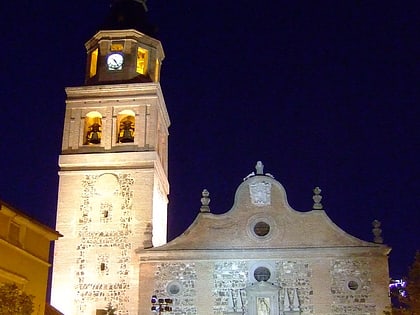
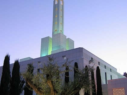
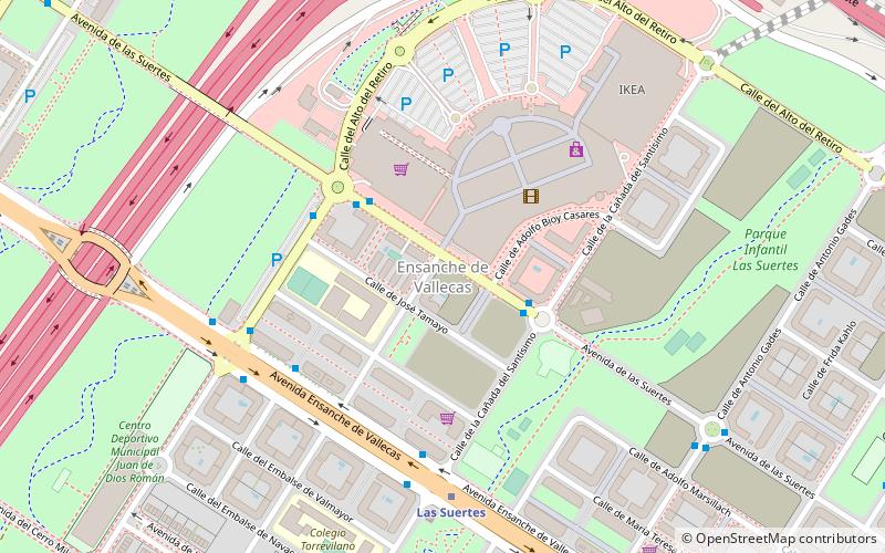
Nearby attractions include: Faunia, Church of St Peter ad Vincula, Madrid Spain Temple, Ensanche de Vallecas.
Frequently Asked Questions (FAQ)
Which popular attractions are close to Vallecas?
Nearby attractions include Church of St Peter ad Vincula, Madrid (8 min walk), Villa de Vallecas, Madrid (10 min walk), Faunia, Madrid (17 min walk).
How to get to Vallecas by public transport?
The nearest stations to Vallecas:
Bus
Metro
Train
Bus
- Enrique Gª Álvarez - Cº de Vasares • Lines: 58, N9 (2 min walk)
- Enrique Gª Álvarez - Sierra Gorda • Lines: 58 (4 min walk)
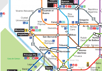
Metro
- Villa de Vallecas • Lines: L1 (10 min walk)
- Sierra de Guadalupe • Lines: L1 (11 min walk)
Train
- Vallecas (11 min walk)
- Santa Eugenia (13 min walk)

 Metro
Metro
