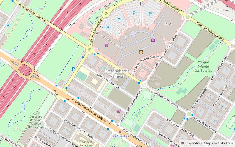
Ciudad Deportiva Rayo Vallecano, Madrid
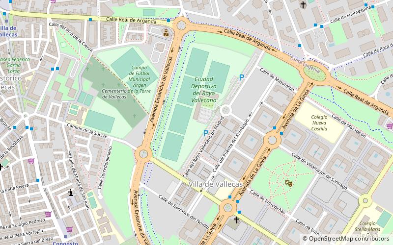
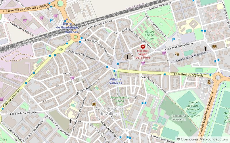
Map
Facts and practical information
Ciudad Deportiva Fundación Rayo Vallecano is the training ground of Rayo Vallecano. It is located in Madrid. ()
Coordinates: 40°22'34"N, 3°36'47"W
Address
Casco Histórico de VallecasMadrid
ContactAdd
Social media
Add
Getting there by public transportation
Public transportation stops near this location
- Metro
- Bus
- Train
 Metro
Metro
- Calculate routeAv. de la Gavia - Villamayor de Santiago 5 min walk
- Calculate routeAv. de las Suertes - Av. de la Gavia 6 min walk
- Calculate routeReal de Arganda - Enrique Gª Álvarez 7 min walk
- Calculate routeCongosto 11 min walk
- Calculate routeLa Gavia 12 min walk
- Calculate routeVilla de Vallecas 13 min walk
- Calculate routeSierra de Guadalupe 19 min walk
- Calculate routeVallecas 19 min walk
- Calculate routeSanta Eugenia 21 min walk
Maps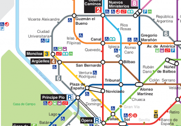 Metro
Metro
MetroDay trips


Frequently Asked Questions (FAQ)
Which popular attractions are close to Ciudad Deportiva Rayo Vallecano?
Nearby attractions include Church of St Peter ad Vincula, Madrid (13 min walk), Villa de Vallecas, Madrid (13 min walk), Vallecas, Madrid (14 min walk).
How to get to Ciudad Deportiva Rayo Vallecano by public transport?
The nearest stations to Ciudad Deportiva Rayo Vallecano:
Bus
Metro
Train
Bus
- Av. de la Gavia - Villamayor de Santiago • Lines: 145 (5 min walk)
- Av. de las Suertes - Av. de la Gavia • Lines: N9 (6 min walk)
Metro
- Congosto • Lines: L1 (11 min walk)
- La Gavia • Lines: L1 (12 min walk)
Train
- Vallecas (19 min walk)
- Santa Eugenia (21 min walk)