Carrer del Consell de Cent, Barcelona
Map
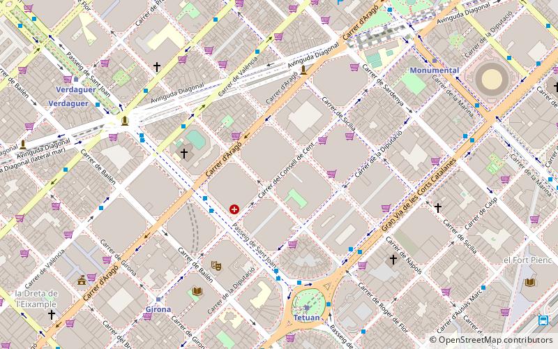
Map

Facts and practical information
Carrer del Consell de Cent is a long avenue in Barcelona, Catalonia, Spain. It's one of the horizontal streets of the urban grid that makes up Eixample district, spanning the Esquerra de l'Eixample and the Dreta de l'Eixample quarters, starting at the Parc de Joan Miró by carrer de Vilamarí and ending in the neighbourhood of El Clot, by Avinguda Meridiana, in the Sant Martí district. ()
Address
Eixample (La Dreta de l'Eixample)Barcelona
ContactAdd
Social media
Add
Day trips
Carrer del Consell de Cent – popular in the area (distance from the attraction)
Nearby attractions include: Sagrada Família, Arc de Triomf, Estació del Nord, Casa de les Punxes.
Frequently Asked Questions (FAQ)
Which popular attractions are close to Carrer del Consell de Cent?
Nearby attractions include Plaça de Tetuan, Barcelona (7 min walk), Plaça de Mossèn Jacint Verdaguer, Barcelona (7 min walk), Carrer d'Aragó, Barcelona (9 min walk), Sagrada Família Schools, Barcelona (9 min walk).
How to get to Carrer del Consell de Cent by public transport?
The nearest stations to Carrer del Consell de Cent:
Bus
Metro
Train
Tram
Bus
- Pg de Sant Joan - Aragó • Lines: 19, 6, D50, N1, N4, V19 (4 min walk)
- Pg Sant Joan - Consell de Cent • Lines: 19, 6, D50, N1, N4, V19 (4 min walk)
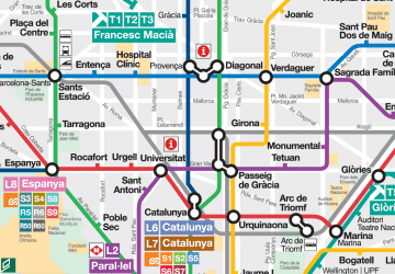
Metro
- Tetuan • Lines: L2 (6 min walk)
- Girona • Lines: L4 (8 min walk)
Train
- Barcelona - Passeig de Gràcia (14 min walk)
- Barcelona - Plaça Catalunya (20 min walk)
Tram
- Auditori/Teatre Nacional • Lines: T4 (17 min walk)
- Glòries • Lines: T4, T5, T6 (18 min walk)

 Metro
Metro


