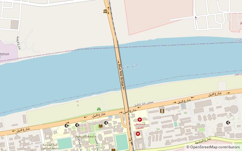
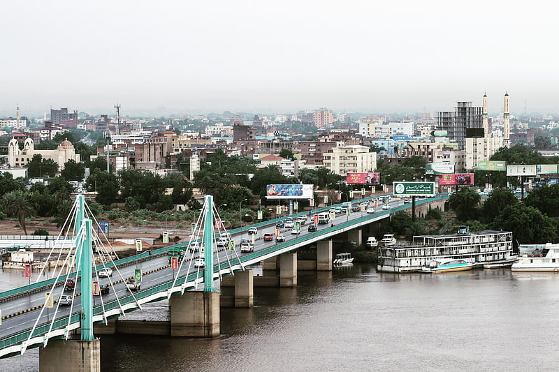
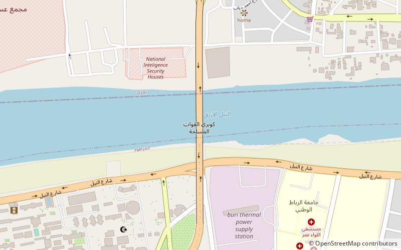
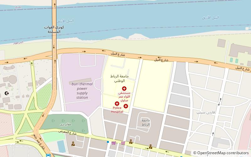
Blue Nile Road and Railway Bridge, Khartoum
Facts and practical information
The Blue Nile Road and Railway Bridge is a vital artery in the heart of Khartoum, Sudan, connecting the capital with its sister city Omdurman. This dual-purpose bridge facilitates both road and rail transport, making it a critical infrastructure piece for the region's economic and social activities.
Constructed in the early 20th century during the Anglo-Egyptian condominium, the bridge stands as a testament to the engineering capabilities of the era. It spans the majestic Blue Nile, one of the two major tributaries of the Nile River, and provides a crucial link for the flow of goods and people between the cities it connects.
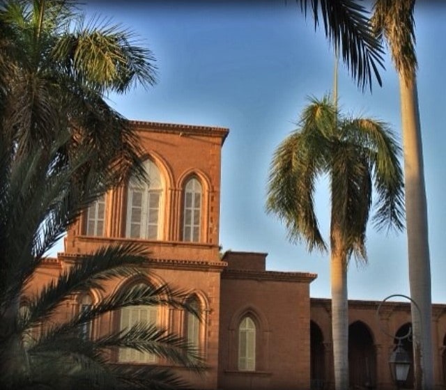
The bridge's strategic location has made it an iconic landmark in Khartoum, often serving as a backdrop for picturesque views of the city's skyline. The Blue Nile Road and Railway Bridge is not just a transportation hub; it's also a symbol of unity, bridging the geographical divide between communities.
Despite the wear and tear of time and the increase in demand due to population growth, the bridge continues to support the heavy loads of daily commuters and freight trains. The government has undertaken maintenance and reinforcement projects to ensure the bridge's longevity and safety, recognizing its importance to the nation's capital.
Open to traffic throughout the year, the bridge plays a significant role in the daily lives of thousands. While it may not boast the same touristic allure as monumental structures in other cities, it remains an indispensable element of Khartoum's infrastructure, quietly supporting the city's pulse.
Khartoum
- Bus
 Bus
Bus
- Calculate routeموقف شندي القديم 15 min walk
- Calculate routeShendi Station 16 min walk
- Calculate routeموقف الحاج يوسف 21 min walk
- Calculate routeموقف حافلات الستين 22 min walk
Frequently Asked Questions (FAQ)
Which popular attractions are close to Blue Nile Road and Railway Bridge?
How to get to Blue Nile Road and Railway Bridge by public transport?
Bus
- موقف شندي القديم (15 min walk)
- Shendi Station (16 min walk)