National Ribat University, Khartoum
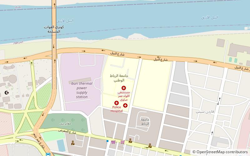
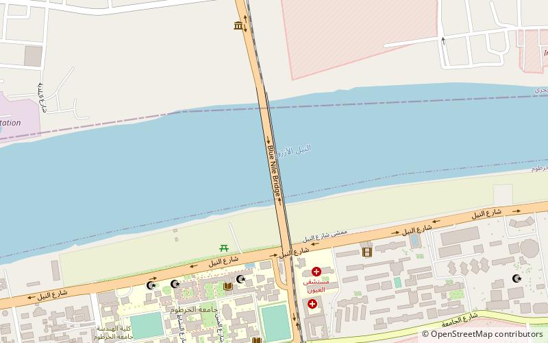
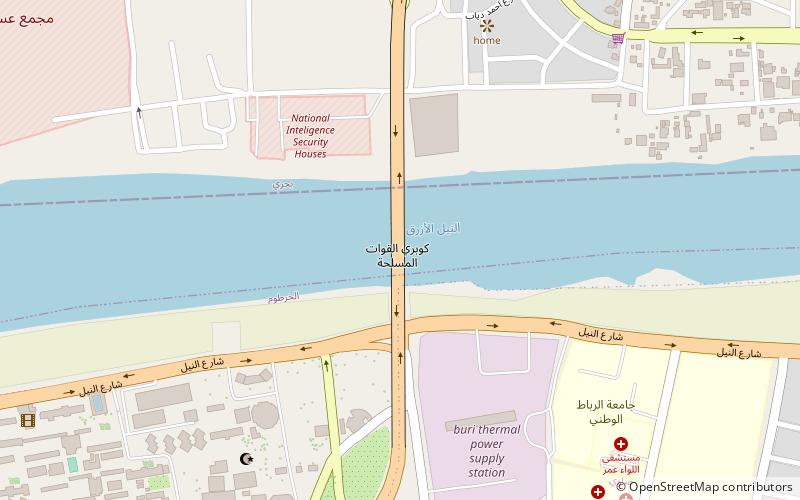
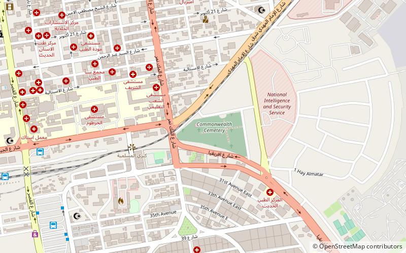
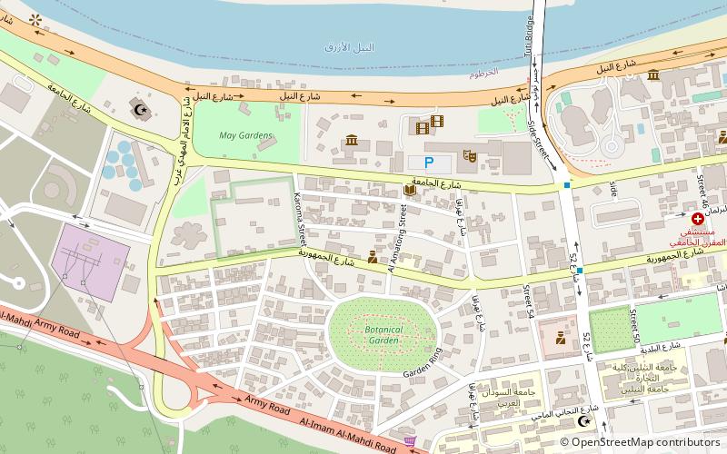
Map
Facts and practical information
The National Ribat University is a university based in the city of Khartoum, Sudan. ()
Coordinates: 15°36'47"N, 32°33'35"E
Getting there by public transportation
Public transportation stops near this location
- Bus
 Bus
Bus
- Calculate routeموقف حافلات الستين 13 min walk
- Calculate routeموقف حافلات المركز الاسلامي 13 min walk
- Calculate routeمحطة المثلث 16 min walk
- Calculate routeمحطة كوبر 22 min walk
Day trips


Frequently Asked Questions (FAQ)
How to get to National Ribat University by public transport?
The nearest stations to National Ribat University:
Bus
Bus
- موقف حافلات الستين (13 min walk)
- موقف حافلات المركز الاسلامي (13 min walk)