Kober Bridge, Khartoum
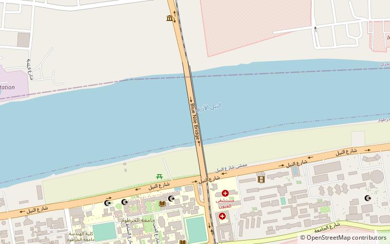
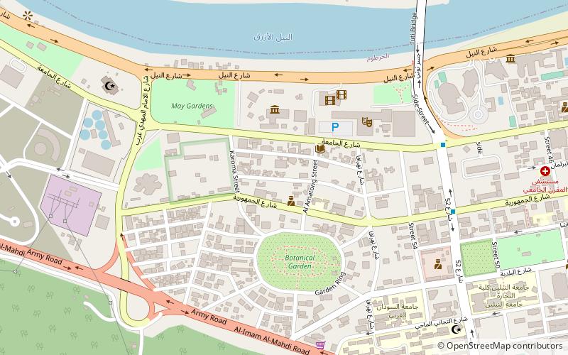
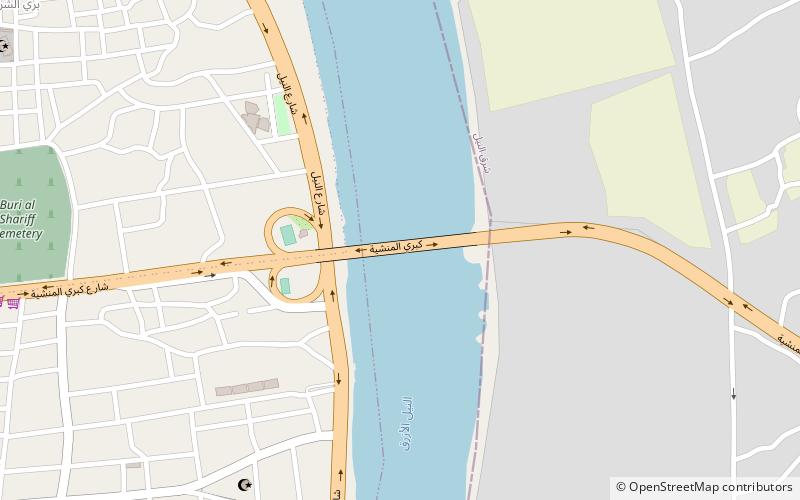
Map
Facts and practical information
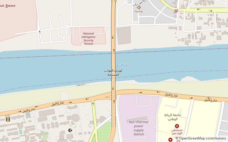
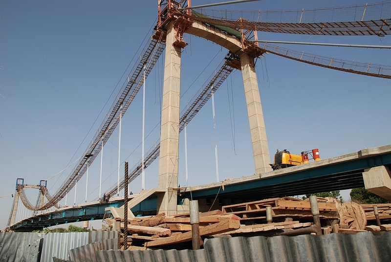
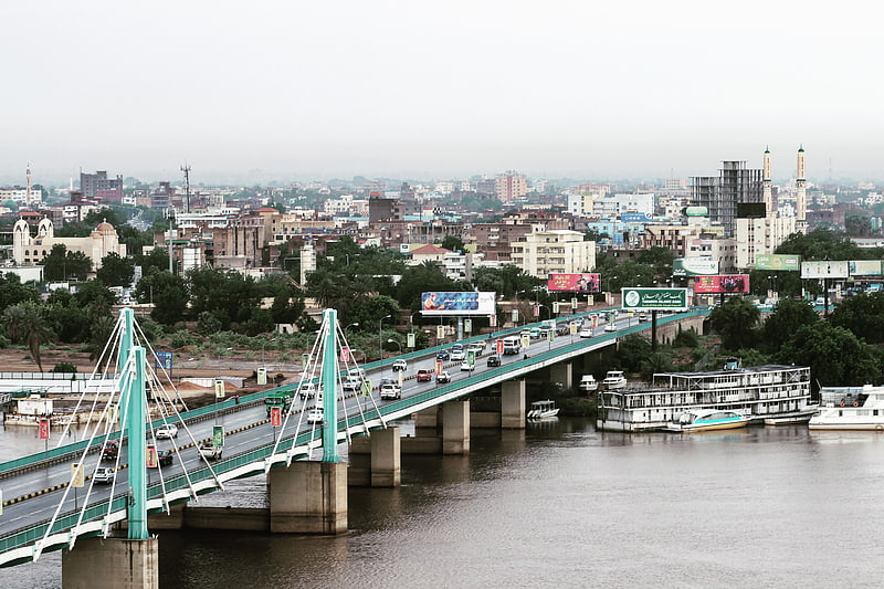
Kober Bridge is a bridge for road traffic that links the neighbourhood of al-Riadh in Khartoum with Kafouri in the industrial city Khartoum North across the Blue Nile in central Sudan. Named after the adjacent neighbourhood Kober in Khartoum North, it is also called "Armed Forces Bridge" and was opened on 23 October 2014. ()
Address
Khartoum
ContactAdd
Social media
Add
Getting there by public transportation
Public transportation stops near this location
- Bus
 Bus
Bus
- Calculate routeمحطة كوبر 15 min walk
- Calculate routeموقف حافلات الستين 15 min walk
- Calculate routeموقف حافلات المركز الاسلامي 15 min walk
- Calculate routeمحطة المثلث 22 min walk
Day trips

Frequently Asked Questions (FAQ)
Which popular attractions are close to Kober Bridge?
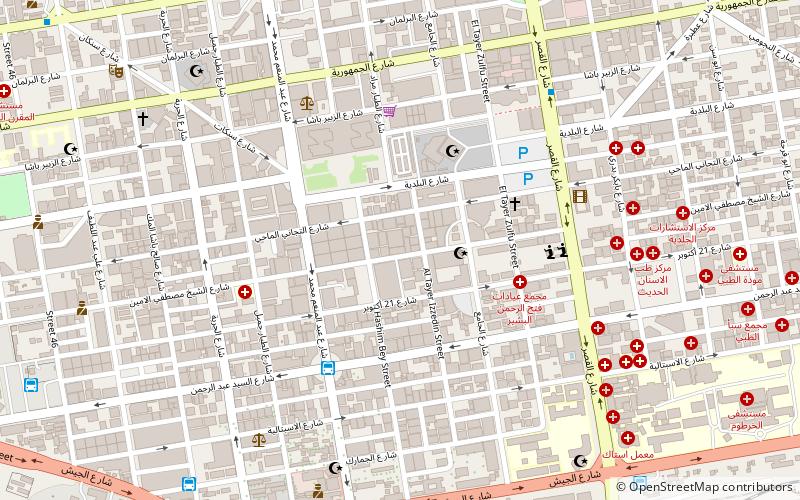
Nearby attractions include National Ribat University, Khartoum (11 min walk), Blue Nile Road and Railway Bridge, Khartoum (19 min walk).
How to get to Kober Bridge by public transport?
The nearest stations to Kober Bridge:
Bus
Bus
- محطة كوبر (15 min walk)
- موقف حافلات الستين (15 min walk)