Dammträsk, Södertörn

Gallery (1)
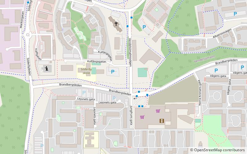
Map
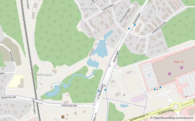
Map
Facts and practical information
Address
Södertörn
ContactAdd
Social media
Add
Getting there by public transportation
Public transportation stops near this location
- Bus
- Train
 Bus
Bus
- Calculate routeKolartorpsvägen 3 min walk
- Calculate routeKvarntorpsvägen 4 min walk
- Calculate routePort 73 6 min walk
- Calculate routeMårdvägen 8 min walk
- Calculate routeVega 14 min walk
- Calculate routeHanden 24 min walk
Day trips
Dammträsk – popular in the area (distance from the attraction)
Nearby attractions include: Övre Rudasjön, Trylen, Brandbergen Mosque, Handens muséum & Smedja.


Frequently Asked Questions (FAQ)
Which popular attractions are close to Dammträsk?
Nearby attractions include Handens muséum & Smedja, Södertörn (6 min walk), Övre Rudasjön, Södertörn (19 min walk), Haninge kulturhus, Södertörn (22 min walk).
How to get to Dammträsk by public transport?
The nearest stations to Dammträsk:
Bus
Train
Bus
- Kolartorpsvägen • Lines: 830, 837 (3 min walk)
- Kvarntorpsvägen • Lines: 810, 830, 835 (4 min walk)
Train
- Vega (14 min walk)
- Handen (24 min walk)