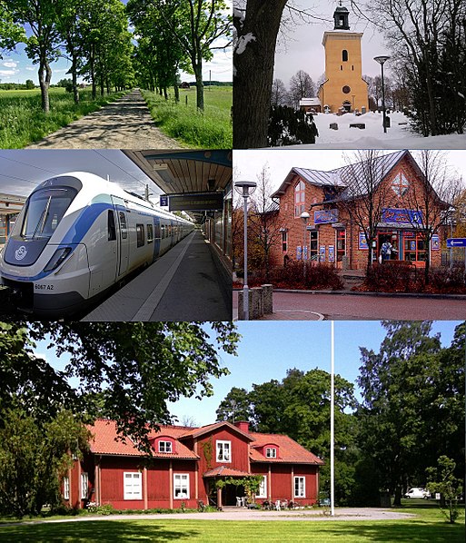
Västerhaninge, Södertörn

Gallery (6)
Map


Map

Gallery
Facts and practical information
Address
Södertörn
ContactAdd
Social media
Add
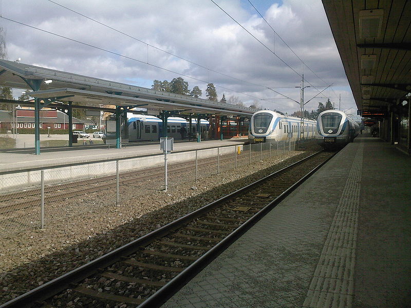
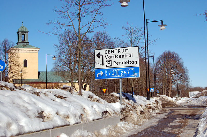
Getting there by public transportation
Public transportation stops near this location
- Bus
- Train
 Bus
Bus
- Calculate routeVerkstadsvägen 2 min walk
- Calculate routeHåga 8 min walk
- Calculate routeMulstavägen 8 min walk
- Calculate routeKrigslida 20 min walk
- Calculate routeVästerhaninge 24 min walk
Day trips


Frequently Asked Questions (FAQ)
How to get to Västerhaninge by public transport?
The nearest stations to Västerhaninge:
Bus
Train
Bus
- Verkstadsvägen • Lines: 835 (2 min walk)
- Håga • Lines: 835, 848, 893 (8 min walk)
Train
- Krigslida (20 min walk)
- Västerhaninge (24 min walk)