Västerbroplan, Stockholm
Map
Gallery
Facts and practical information
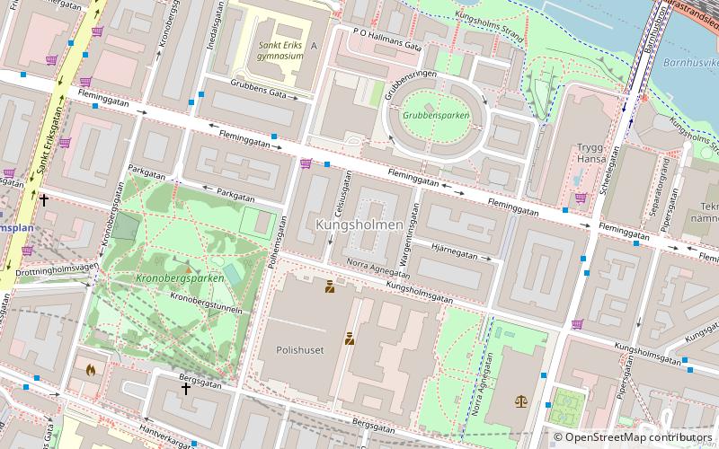
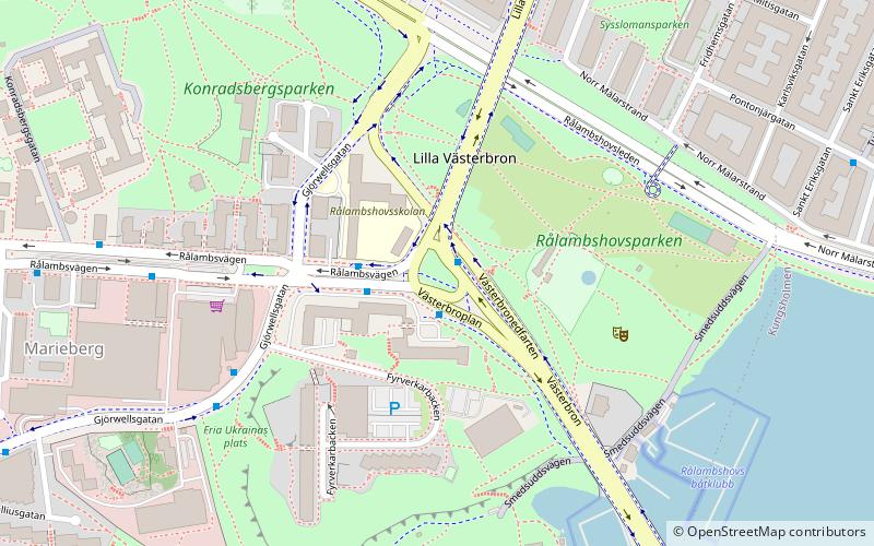
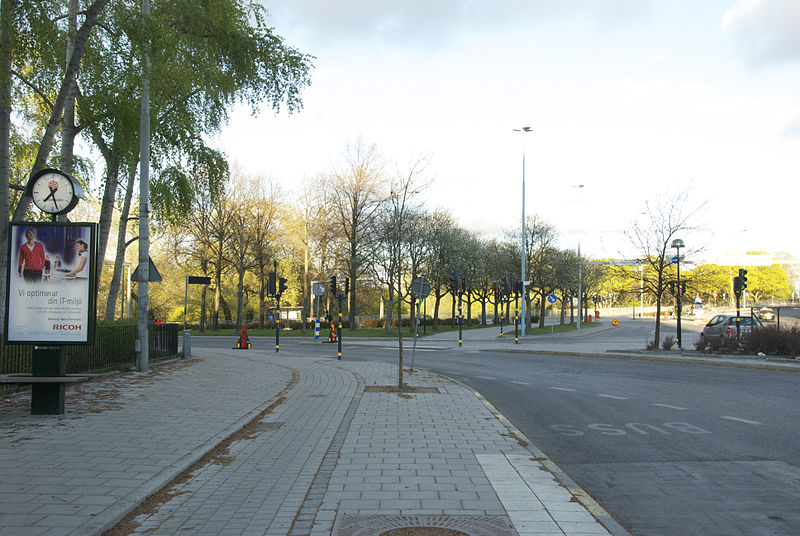
Västerbroplan is a traffic intersection in Kungsholmen, Stockholm. It lies just west of Västerbron and just south of Fridhemsplan. It is also the location of DN-Skrapan, the offices of several newspapers and associated agencies. ()
Address
Kungsholmen (Marieberg)Stockholm
ContactAdd
Social media
Add
Day trips
Västerbroplan – popular in the area (distance from the attraction)
Nearby attractions include: Västermalmsgallerian, Smedsuddsbadet, Västerbron, Karlberg Palace.
Frequently Asked Questions (FAQ)
Which popular attractions are close to Västerbroplan?
Nearby attractions include Stockholm/Kungsholmen, Stockholm (5 min walk), Rålambshovsparken, Stockholm (6 min walk), Smedsuddsbadet, Stockholm (6 min walk), DN-Skrapan, Stockholm (7 min walk).
How to get to Västerbroplan by public transport?
The nearest stations to Västerbroplan:
Bus
Metro
Ferry
Tram
Train
Bus
- Västerbroplan • Lines: 1, 151, 153, 4, 405, 54, 56, 61, 726, 74, 743, 745, 77, 91, 94, Flygbussarna (1 min walk)
- Fyrverkarbacken • Lines: 1, 56, 91 (5 min walk)
Metro
- Thorildsplan • Lines: 17, 18, 19 (9 min walk)
- Fridhemsplan • Lines: 10, 11, 17, 18, 19 (12 min walk)
Ferry
- Lilla Essingen • Lines: 89, Båt (15 min walk)
- Hornsbergs Strand • Lines: Båt (26 min walk)
Tram
- Gröndal • Lines: 30 (25 min walk)
- Trekanten • Lines: 30 (26 min walk)
Train
- Stockholm Odenplan (35 min walk)

 Metro
Metro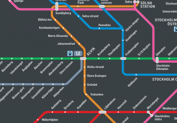 Rail network map


