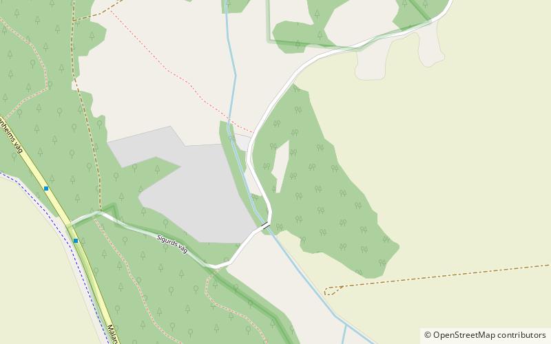
Sigurdsristningen, Eskilstuna
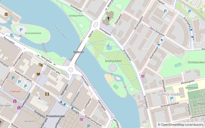
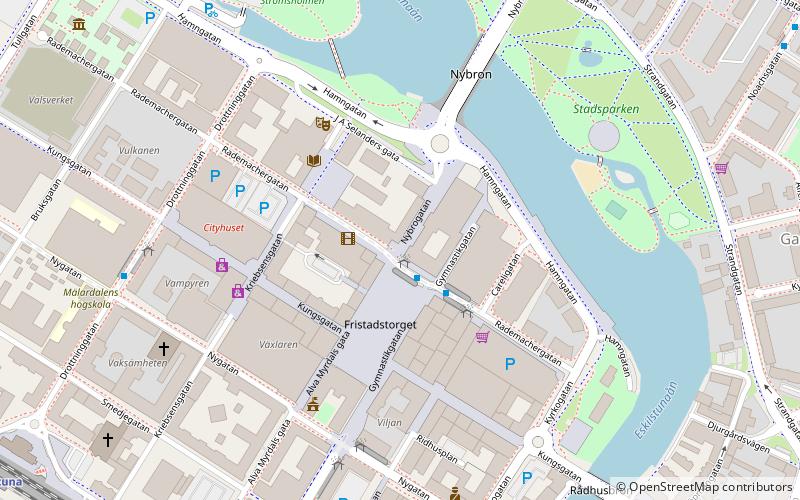
Map
Facts and practical information
The Sigurd stones form a group of eight or nine Swedish runic inscriptions and one picture stone that depict imagery from the Germanic heroic legend of Sigurd the dragon slayer. They were made during the Viking Age and constitute the earliest Norse representations of the matter of the Völsung cycle that is the basis of the Middle High German Nibelungenlied and the Sigurd legends in the Poetic Edda, the Prose Edda, and the Völsunga saga. ()
Getting there by public transportation
Public transportation stops near this location
- Bus
 Bus
Bus
- Calculate routeMora vägskäl 7 min walk
- Calculate routeSundbyholm 13 min walk
- Calculate routeSundby vägskäl 16 min walk
- Calculate routeAlphyddan 27 min walk
Day trips


Frequently Asked Questions (FAQ)
How to get to Sigurdsristningen by public transport?
The nearest stations to Sigurdsristningen:
Bus
Bus
- Mora vägskäl • Lines: 9 (7 min walk)
- Sundbyholm • Lines: 9 (13 min walk)