Östermalm, Stockholm
Map

Map

Facts and practical information
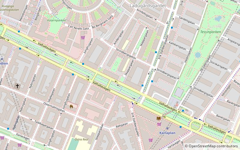
Östermalm is a borough in central Stockholm,Sweden. It is named after the dominating district. Except Östermalm there are four districts in the borough: Djurgården, Hjorthagen, Ladugårdsgärdet, and Norra Djurgården. Note that a portion of northern Östermalm is organized in Norrmalm borough. The population as of 2004 is 61,253 on an area of 18.00 km², which gives a density of 3,402.94/km². ()
Day trips
Östermalm – popular in the area (distance from the attraction)
Nearby attractions include: Sturecompagniet, Stockholm Olympic Stadium, Swedish History Museum, Swedish Army Museum.
Frequently Asked Questions (FAQ)
Which popular attractions are close to Östermalm?
Nearby attractions include Aviator Monument, Stockholm (7 min walk), Karlaplan, Stockholm (8 min walk), Royal College of Music, Stockholm (9 min walk), Maximteatern, Stockholm (9 min walk).
How to get to Östermalm by public transport?
The nearest stations to Östermalm:
Bus
Metro
Tram
Light rail
Ferry
Train
Bus
- Valhallavägen • Lines: 54 (2 min walk)
- Erik Dahlbergsgatan • Lines: 54 (3 min walk)
Metro
- Karlaplan • Lines: 13 (5 min walk)
- Stadion • Lines: 14 (8 min walk)
Tram
- Djurgårdsbron • Lines: 7 (18 min walk)
- Styrmansgatan • Lines: 7 (19 min walk)
Light rail
- Stockholms östra • Lines: 27, 28, 29 (19 min walk)
Ferry
- Strandvägen • Lines: Cinderella Stockholm ↔ Sandhamn (20 min walk)
- Nybroplan • Lines: 80, Royal Canal Tour (21 min walk)
Train
- Stockholm City (32 min walk)
- Stockholms central (36 min walk)

 Metro
Metro Rail network map


