Långholmen, Stockholm
Map

Map

Facts and practical information
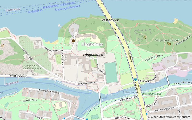
Långholmen is an island between Södermalm and Kungsholmen in central Stockholm, Sweden. The island can be reached via two bridges; Pålsundsbron in the east and Långholmsbron in the west. Långholmen is a popular spot for walks, picnics and swimming. The small beaches, located right outside the former prison, are usually crowded in summer. ()
Address
Södermalm (Reimersholme - Långholmen)Stockholm
ContactAdd
Social media
Add
Day trips
Långholmen – popular in the area (distance from the attraction)
Nearby attractions include: Smedsuddsbadet, Västerbron, Rålambshovsparken, Trekanten.
Frequently Asked Questions (FAQ)
Which popular attractions are close to Långholmen?
Nearby attractions include Långholmen Prison, Stockholm (2 min walk), Långholmsbron, Stockholm (4 min walk), Långholmens spinnhus, Stockholm (4 min walk), Långholmsbadet, Stockholm (4 min walk).
How to get to Långholmen by public transport?
The nearest stations to Långholmen:
Bus
Metro
Tram
Ferry
Train
Bus
- Bergsunds strand • Lines: 54, 66 (5 min walk)
- Anders Reimers väg • Lines: 54, 66 (6 min walk)
Metro
- Hornstull • Lines: 13, 14 (12 min walk)
- Liljeholmen • Lines: 13, 14 (19 min walk)
Tram
- Trekanten • Lines: 30 (15 min walk)
- Gröndal • Lines: 30 (19 min walk)
Ferry
- Lilla Essingen • Lines: 89, Båt (18 min walk)
- Klara Mälarstrand • Lines: 89 (30 min walk)
Train
- Stockholms central (32 min walk)
- Stockholms södra (33 min walk)

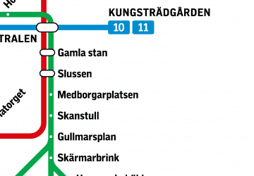
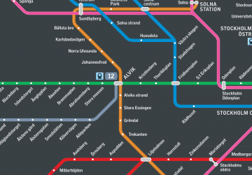
 Metro
Metro Rail network map


