Brandbergen Mosque, Södertörn
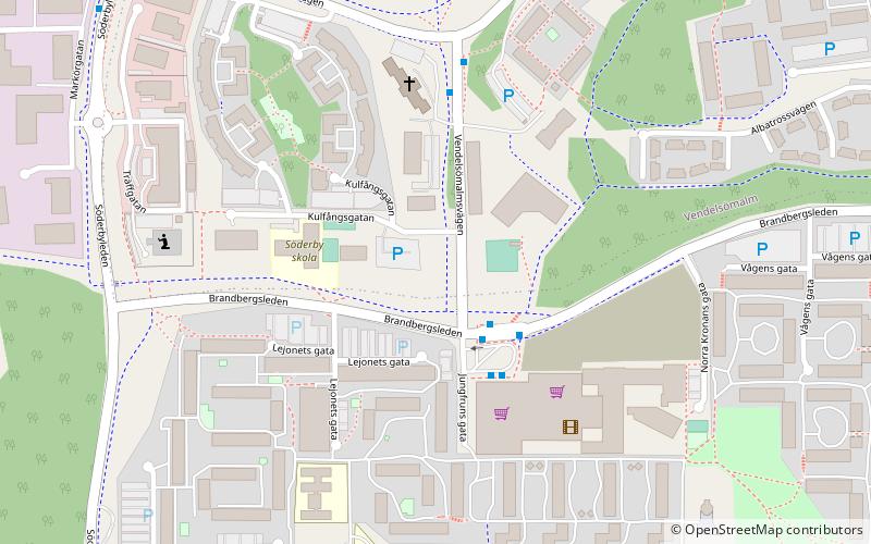
Map
Facts and practical information
The Brandbergen Mosque, officially the Islamic Association in Brandbergen was a mosque located in an apartment in Brandbergen, Haninge Municipality, south of Stockholm, Sweden. ()
Coordinates: 59°10'25"N, 18°10'5"E
Address
Södertörn
ContactAdd
Social media
Add
Getting there by public transportation
Public transportation stops near this location
- Bus
- Train
 Bus
Bus
- Calculate routeBrandbergens centrum 2 min walk
- Calculate routeKulfångsgatan 4 min walk
- Calculate routeBrandbergens industriområde 8 min walk
- Calculate routeSöderbyleden 9 min walk
- Calculate routeVega 37 min walk
Day trips


Frequently Asked Questions (FAQ)
How to get to Brandbergen Mosque by public transport?
The nearest stations to Brandbergen Mosque:
Bus
Train
Bus
- Brandbergens centrum • Lines: 807, 818C, 832, 834, 838, 842, 892 (2 min walk)
- Kulfångsgatan • Lines: 807, 818C, 832, 838, 842, 892 (4 min walk)
Train
- Vega (37 min walk)