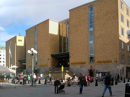
SoFo, Stockholm
Map
Map

Facts and practical information
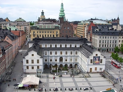
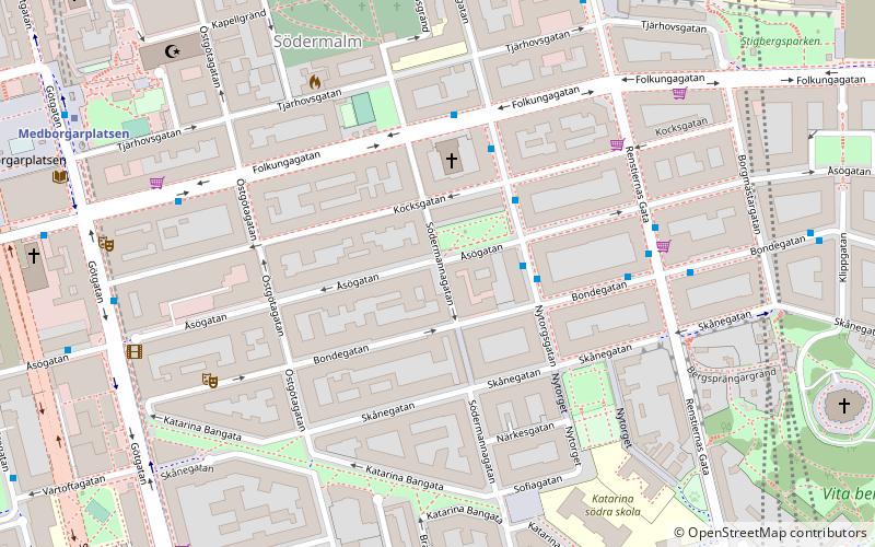
The area SoFo, or "South of Folkungagatan" is located in Södermalm, a district of Stockholm, Sweden. It is bounded by Folkungagatan street to the north, Ringvägen to the south and in the east and west by Erstagatan and Götgatan, respectively. ()
Address
Södermalm (Östra Katarina)Stockholm
ContactAdd
Social media
Add
Day trips
SoFo – popular in the area (distance from the attraction)
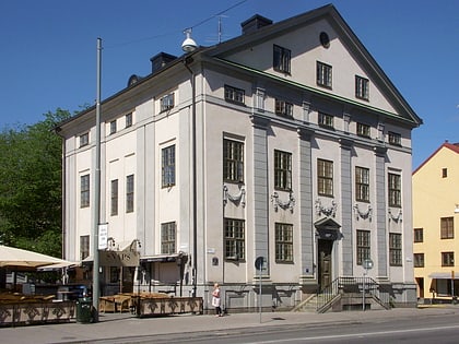
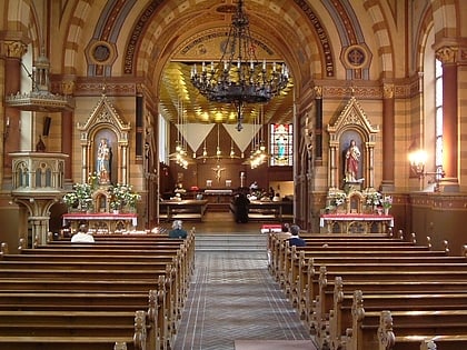
Nearby attractions include: Eriksdalsbadet, Katarina Church, Stockholm City Museum, Fotografiska.
Frequently Asked Questions (FAQ)
Which popular attractions are close to SoFo?
Nearby attractions include Nytorget, Stockholm (4 min walk), Göta Lejon, Stockholm (6 min walk), Boulevardteatern, Stockholm (7 min walk), Stockholm Mosque, Stockholm (7 min walk).
How to get to SoFo by public transport?
The nearest stations to SoFo:
Bus
Metro
Ferry
Train
Tram
Bus
- Bondegatan • Lines: 66 (2 min walk)
- Nytorgsgatan • Lines: 66, 76 (3 min walk)
Metro
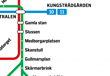
- Medborgarplatsen • Lines: 17, 18, 19 (7 min walk)
- Skanstull • Lines: 17, 18, 19 (10 min walk)
Ferry
- Viking Line: Stadsgården, Stockholm • Lines: Viking Line (16 min walk)
- Slussen • Lines: 18, 24, 82 (18 min walk)
Train
- Stockholms södra (18 min walk)
- Henriksdal (26 min walk)
Tram
- Mårtensdal • Lines: 30 (21 min walk)
- Luma • Lines: 30 (22 min walk)

 Metro
Metro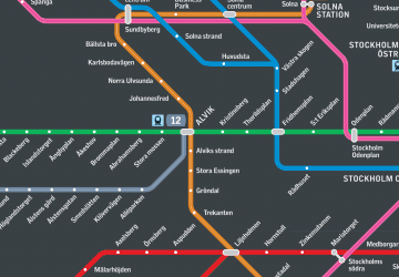 Rail network map

