Marieberg, Stockholm

Map
Facts and practical information
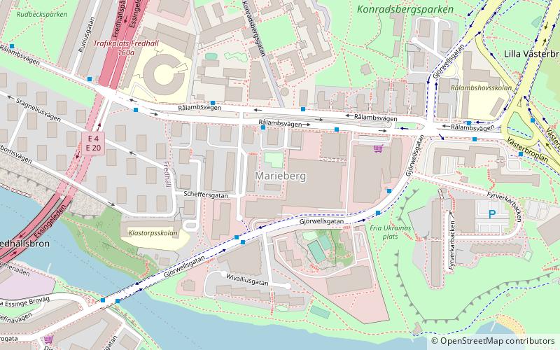
Marieberg is a district located on the island of Kungsholmen in Stockholm City Centre, Sweden. Marieberg is part of the Borough of Kungsholmen. It is located west of Fridhemsgatan/Riddarfjärden, south of Drottningholmsvägen and east of Essingeleden/Viktor Rydbergs gata. In the south Marieberg borders the Mariebergsfjärden. ()
Address
Kungsholmen (Marieberg)Stockholm
ContactAdd
Social media
Add
Day trips
Marieberg – popular in the area (distance from the attraction)
Nearby attractions include: Västermalmsgallerian, Smedsuddsbadet, Västerbron, Rålambshovsparken.
Frequently Asked Questions (FAQ)
Which popular attractions are close to Marieberg?
Nearby attractions include DN-Skrapan, Stockholm (1 min walk), Mariebergsbron, Stockholm (6 min walk), Västerbroplan, Stockholm (7 min walk), Fredhällsbron, Stockholm (8 min walk).
How to get to Marieberg by public transport?
The nearest stations to Marieberg:
Bus
Metro
Ferry
Tram
Train
Bus
- Marieberg • Lines: 61 (2 min walk)
- Wennerbergsgatan • Lines: 61 (3 min walk)
Metro
- Thorildsplan • Lines: 17, 18, 19 (7 min walk)
- Kristineberg • Lines: 17, 18, 19 (13 min walk)
Ferry
- Lilla Essingen • Lines: 89, Båt (10 min walk)
- Hornsbergs Strand • Lines: Båt (24 min walk)
Tram
- Stora Essingen • Lines: 30 (20 min walk)
- Gröndal • Lines: 30 (21 min walk)
Train
- Stockholm Odenplan (40 min walk)
 Metro
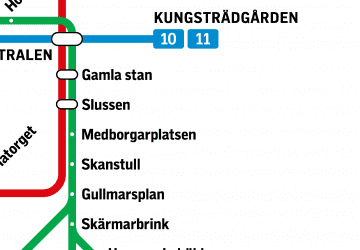
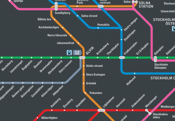
Metro Rail network map


