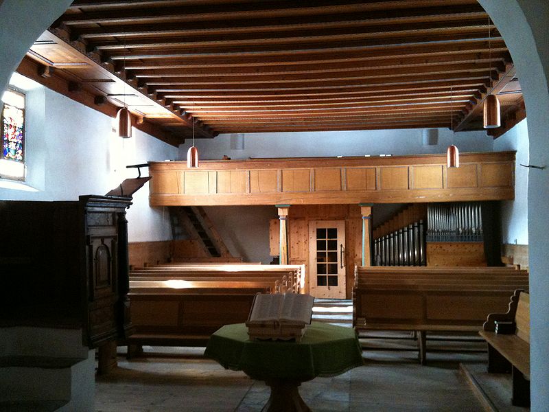
San Lurench, Sils im Engadin/Segl

Gallery (4)
Map

Map
Gallery
Facts and practical information
San Lurench is a place located in Sils im Engadin/Segl (Graubünden canton) and belongs to the category of church.
It is situated at an altitude of 5899 feet, and its geographical coordinates are 46°26'5"N latitude and 9°45'18"E longitude.
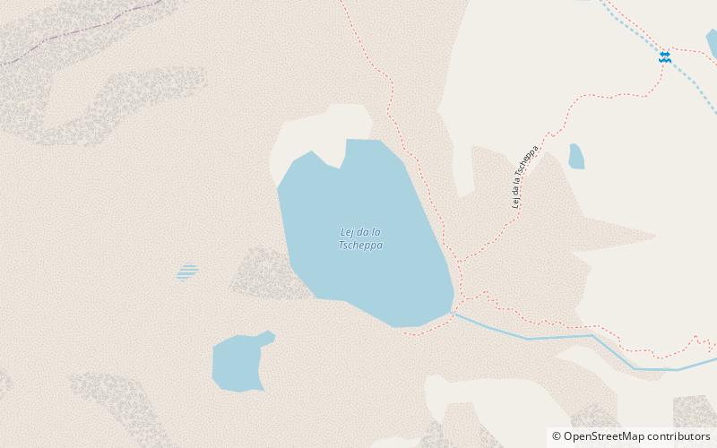
Among other places and attractions worth visiting in the area are: Baselgia evangelic (church, 15 min walk), Nietzsche-Haus (museum, 16 min walk), Lej da la Tscheppa (nature, 30 min walk).
Coordinates: 46°26'5"N, 9°45'18"E
Address
Sils im Engadin/Segl
ContactAdd
Social media
Add
Day trips