Lej da la Tscheppa

Map
Facts and practical information
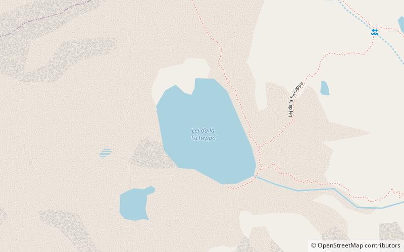
Lej da la Tscheppa is a lake above Sils Maria, in the Engadine valley of the Grisons, Switzerland. Its surface area is 7.96 ha at an elevation of 2616 m. It used to be fed by water from the Crasta-Tscheppa Glacier. ()
Alternative names: Area: 19.54 acres (0.0305 mi²)Maximum depth: 105 ftElevation: 8583 ft a.s.l.Coordinates: 46°27'4"N, 9°45'5"E
Location
Graubünden
ContactAdd
Social media
Add
Day trips
Lej da la Tscheppa – popular in the area (distance from the attraction)
Nearby attractions include: Piz Nair, Lake Sils, Lake Silvaplana, Via Alpina.


