Col de Bretolet, Champéry

Gallery (1)
Map
Map
Facts and practical information
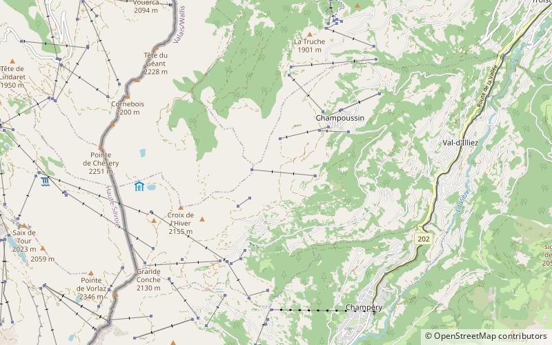
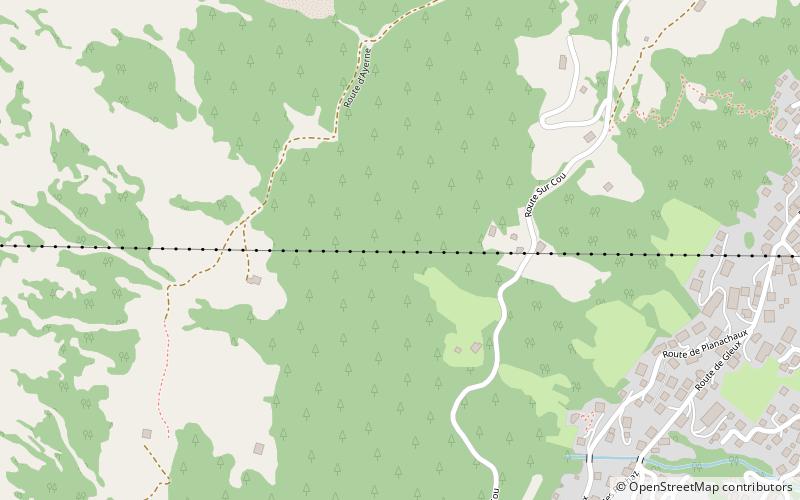
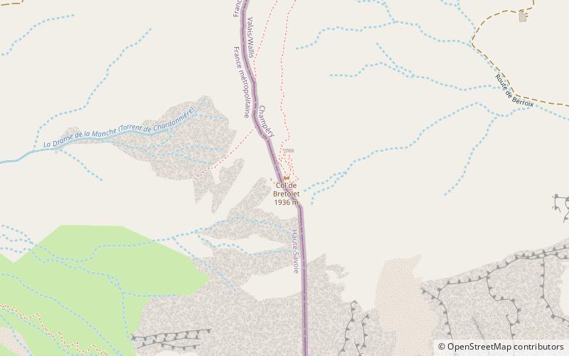
The Col de Bretolet is a mountain pass in the Swiss Alps in the canton of Valais, close to the border between Switzerland and the French department of Haute-Savoie. It lies above the village of Champéry at an altitude of 1923 m asl within a 567 ha nature reserve set aside for the protection and study of migratory birds. It contains a bird ringing station operated by the Sempach Bird Observatory. ()
Address
Champéry
ContactAdd
Social media
Add
Day trips