Lac du Vieux Émosson

Gallery (2)
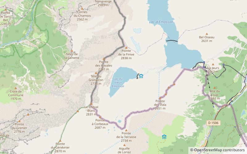
Map
Map
Gallery
Facts and practical information
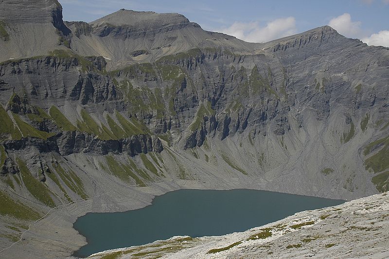
Lac du Vieux Émosson is a reservoir in Valais, Switzerland, in the municipality of Finhaut at an elevation of 2205 m. The lake drains into the reservoir Lac d'Émosson, 300 m below. ()
Local name: Lac du Vieux Emosson Length: 4921 ftMaximum depth: 138 ftElevation: 7234 ft a.s.l.Coordinates: 46°3'44"N, 6°53'26"E
Location
Valais
ContactAdd
Social media
Add
Day trips