Tête à Pierre Grept
#747 among destinations in Switzerland


Facts and practical information
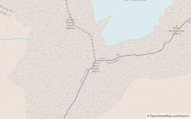
The Tête à Pierre Grept is a mountain in the Bernese Alps, located between the cantons of Vaud and Valais. It is situated in the region between the Grand Muveran and Pas de Cheville. On the northern side lies the small Glacier de Paneirosse. ()
ValaisSwitzerland
Tête à Pierre Grept – popular in the area (distance from the attraction)
Nearby attractions include: Lac de Derborence, Dent de Morcles, Diablerets, Grand Muveran.
 Scenic lake framed by mountains and trails
Lac de Derborence, Sion
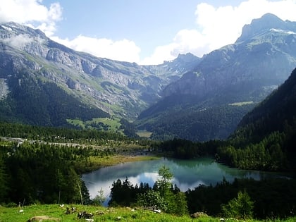
89 min walk • Nestled in the heart of the Swiss Alps, Lac de Derborence is a hidden gem located near the city of Sion, Switzerland. This serene lake is a testament to the raw power of nature, having formed as a result of two massive rockslides from the Diablerets mountain range in...
 Mountain peak with challenging trails
Dent de Morcles
136 min walk • The Dent de Morcles is a 2,969 metres high mountain located at western end of the Bernese Alps, overlooking the Rhone between Martigny and St. Maurice.
 Nature, Natural attraction, Mountain
Diablerets
101 min walk • The Diablerets are a huge ice-covered mountain massif of the Alps, culminating at the Sommet des Diablerets at 3,210 metres above sea level and straddling the border between the Swiss cantons of Vaud and Valais. The northeastern part of the massif stretches also into the canton of Bern.
 Nature, Natural attraction, Mountain
Grand Muveran
45 min walk • The Grand Muveran is a mountain of the Bernese Alps, located on the border between the cantons of Vaud and Valais. At 3,051 metres, it is the highest summit of the group lying between the Rhone knee and the Pas de Cheville and the westernmost three-thousander of the Bernese Alps.
 Nature, Natural attraction, Mountain
Refuge L'espace
131 min walk • The Quille du Diable is a peak of the Diablerets massif, located on the border of the municipalities of Conthey and Savièse in the canton of Valais.
 Nature, Natural attraction, Mountain
Haut de Cry
54 min walk • The Haut de Cry is a mountain of the Bernese Alps, overlooking the Rhône Valley in the canton of Valais. It is composed of several summits, of which the highest has an elevation of 2,969 metres above sea level.
 Nature, Natural attraction, Mountain
Dent Favre
97 min walk • The Dent Favre is a mountain in the Bernese Alps, located between the Dent de Morcles and the Grand Muveran. Its summit straddles the border between the Swiss cantons of Vaud and Valais.
 Nature, Natural attraction, Mountain
L'Argentine
46 min walk • L'Argentine is a mountain of the Vaud Alps, overlooking Solalex above Gryon in the canton of Vaud. The mountain is known by climbers for its Northwest face, the Miroir d'Argentine, which is smooth like a "mirror". The summit is distinguished by the name Haute Pointe and culminates at 2,421 metres above sea level.
 Nature, Natural attraction, Mountain
L'Ardève
114 min walk • L'Ardève is a mountain of the western Bernese Alps, overlooking the Rhone valley at Leytron, in the canton of Valais. Although L'Ardève has a moderate elevation, it has very high cliffs on its south side and its summit offers a good vantage point over the Rhone valley.
 Nature, Natural attraction, Mountain
Tête Ronde
94 min walk • The Tête Ronde is a mountain of the Bernese Alps, located in the canton of Vaud, near the summit of the Diablerets massif of which it is a part. With an elevation of 3,037 metres above sea level, the Tête Ronde is the highest summit entirely within the canton of Vaud.
 Nature, Natural attraction, Mountain
Chaux Ronde, Villars-sur-Ollon
133 min walk • The Chaux Ronde is a mountain in the western Bernese Alps, overlooking Villars-sur-Ollon in the canton of Vaud. The mountain is part of a ski area and its summit is easily accessible from Bretaye with the Bex–Villars–Bretaye railway.
