Aroser Rothorn

Gallery (1)
Map
Map
Facts and practical information
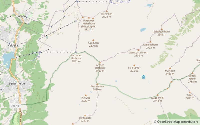
The Aroser Rothorn is the highest mountain of the Plessur Alps. It is located between Arosa and Lenzerheide in the canton of Graubünden and with a summit elevation of 2,980 metres above sea level. The summit lies near the Parpaner Rothorn, which is served by a cable car. ()
Location
Graubünden
ContactAdd
Social media
Add
Day trips


