Öschbrig, Zurich
Map

Map

Facts and practical information
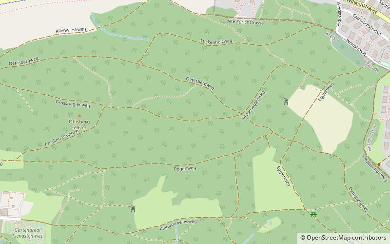
Öschbrig with an elevation of 696 metres, is a wooded mountain in Switzerland overlooking to the east Zürichsee. ()
Elevation: 2283 ftCoordinates: 47°21'30"N, 8°36'50"E
Day trips
Öschbrig – popular in the area (distance from the attraction)
Nearby attractions include: Zürich Tram Museum, Foundation E. G. Bührle, North American Native Museum, Botanischer Garten der Universität Zürich.
Frequently Asked Questions (FAQ)
How to get to Öschbrig by public transport?
The nearest stations to Öschbrig:
Bus
Trolleybus
Light rail
Bus
- Müseren • Lines: 701, 703, 704 (9 min walk)
- Feldhof • Lines: 704 (13 min walk)
Trolleybus
- Kienastenwies • Lines: 31 (17 min walk)
- Zweiackerstrasse • Lines: 31 (19 min walk)
Light rail
- Zollikerberg • Lines: S18 (25 min walk)
- Spital Zollikerberg • Lines: S18 (28 min walk)


