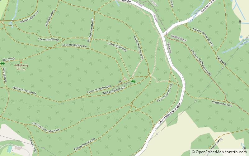
Loorenkopf, Zurich

Gallery (2)
Map
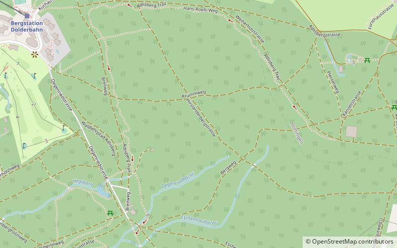
Map
Gallery
Facts and practical information
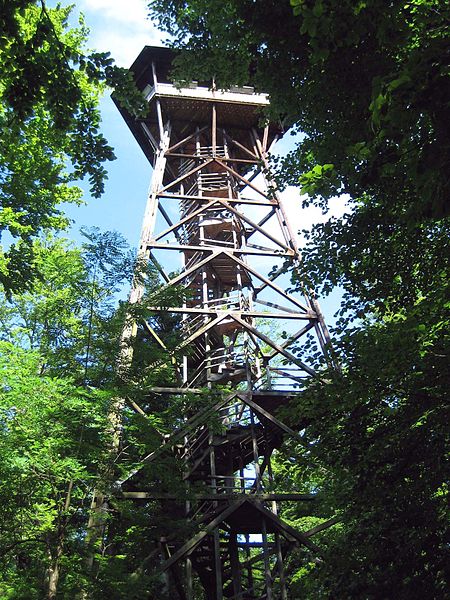
Loorenkopf tower is a 33-metre high freestanding wood lattice tower on Adlisberg, north of Witikon in Zürich, Switzerland. It was built in 1954. The tower is owned by Zürich city and it is open to the public. ()
Address
Kreis 7 (Hottingen)Zurich
ContactAdd
Social media
Add
Getting there by public transportation
Public transportation stops near this location
- Bus
- Trolleybus
- Tram
- Light rail
- Train
 Bus
Bus
- Calculate routeFriedhof Witikon 16 min walk
- Calculate routeGlockenacker 16 min walk
- Calculate routeLoorenstrasse 19 min walk
- Calculate routeBuchholz 20 min walk
- Calculate routeLoorenstrasse 19 min walk
- Calculate routeBerghaldenstrasse 23 min walk
- Calculate routeZweiackerstrasse 23 min walk
- Calculate routeZentrum Witikon 25 min walk
- Calculate routeBergstation Dolderbahn 30 min walk
- Calculate routeBalgrist 40 min walk
- Calculate routeBalgrist 40 min walk
Day trips


Frequently Asked Questions (FAQ)
Which popular attractions are close to Loorenkopf?
Nearby attractions include Adlisberg, Zurich (9 min walk), District 7, Zurich (21 min walk).
How to get to Loorenkopf by public transport?
The nearest stations to Loorenkopf:
Bus
Trolleybus
Train
Tram
Light rail
Bus
- Friedhof Witikon • Lines: 701, 703, 704 (16 min walk)
- Glockenacker • Lines: 701, 703, 704 (16 min walk)
Trolleybus
- Loorenstrasse • Lines: 31 (19 min walk)
- Berghaldenstrasse • Lines: 31 (23 min walk)
Train
- Bergstation Dolderbahn (30 min walk)
Tram
- Balgrist • Lines: 11 (40 min walk)
Light rail
- Balgrist • Lines: 11, S18 (40 min walk)