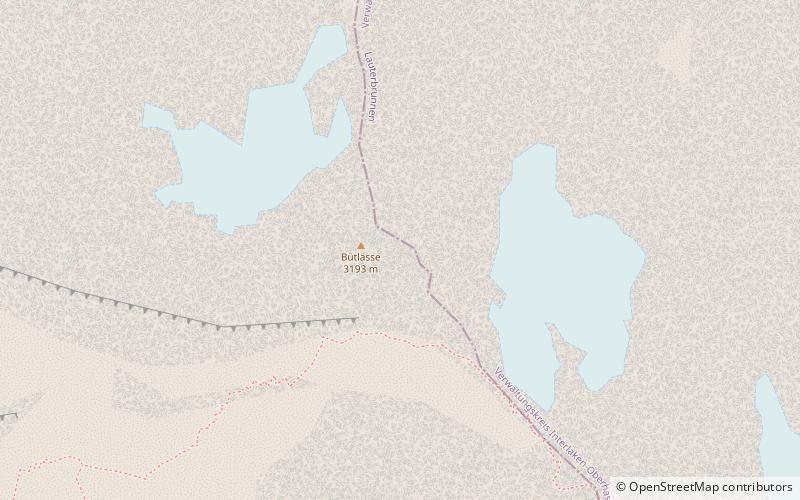
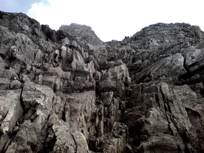
Bütlasse
#492 among destinations in Switzerland

Facts and practical information
The Bütlasse is a mountain of the Bernese Alps, located north of the Gspaltenhorn in the canton of Bern. The Vorderi Bütlasse is a minor summit situated north of the Bütlasse. ()
BernSwitzerland
Bütlasse plan & book
Unleash the traveler in you — discover the cheapest flight deals, find the perfect hotel or hostel nearby, and search for the best car rental prices. Travel at your own pace to discover new places and enjoy your journey.
Bütlasse – popular in the area (distance from the attraction)
Nearby attractions include: Schilthorn, Birg, Blüemlisalp, Tschingelhorn.
 Nature, Natural attraction, Mountain
Schilthorn, Mürren
78 min walk • The Schilthorn is a summit in Europe, in the Bernese Alps of Switzerland. It overlooks the valley of Lauterbrunnen in the Bernese Oberland, and is the highest mountain in the range lying north of the Sefinenfurgge Pass.
 Nature, Natural attraction, Mountain
Birg, Mürren
89 min walk • Birg is a summit of the Bernese Alps, overlooking the valley of Lauterbrunnen in the canton of Bern. It lies on the east flank of the Schilthorn, above the village of Mürren.
 Snowy mountain with panoramic views
Blüemlisalp
79 min walk • The Blüemlisalp is a massif of the Bernese Alps, in the territory of the municipalities of Kandersteg and Reichenbach im Kandertal.
 Nature, Natural attraction, Mountain
Tschingelhorn
78 min walk • The Tschingelhorn is a mountain of the Bernese Alps, located on the border between the Swiss cantons of Bern and Valais. The summit of the Klein Tschingelhorn on the west is the tripoint between the valleys of Kandertal, Lauterbrunnental and Lötschental. The main summit lies between the Lauterbrunnental and the Lötschental.
 Mountain in the Bernese Alps
Gspaltenhorn
15 min walk • The Gspaltenhorn is a mountain of the Bernese Alps, located between the valleys of Kiental and Lauterbrunnen in the canton of Bern.
 Nature, Natural attraction, Mountain
Wildi Frau
56 min walk • The Wildi Frau is a mountain of the Bernese Alps, overlooking the Hohtürli Pass in the Bernese Oberland. It lies between the valleys of Kandersteg and Kiental, north of the Blüemlisalp. It lies 60 km at the southwest of the capital, Bern.
 Notable peak for hiking and cable car ride
Breithorn
99 min walk • The Breithorn, is a mountain of the Bernese Alps, located on the border between the Swiss cantons of Bern and Valais. It is part of the border between Lauterbrunnental and the Lötschental.
 Nature, Natural attraction, Mountain
Hundshorn
47 min walk • The Hundshorn is a mountain of the Bernese Alps, located between the valleys of Kiental and Lauterbrunnen, in the Bernese Oberland. It lies just north of the Sefinenfurgge Pass and near the Schilthorn.
 Nature, Natural attraction, Mountain
Tschingelspitz
26 min walk • The Tschingelspitz is a mountain of the Bernese Alps, located south of Mürren in the Bernese Oberland. It lies east of the higher Gspaltenhorn.
 Alpine hut, Hiking
Mutthorn Hut
58 min walk • The Mutthorn Hut is a mountain hut of the Swiss Alpine Club, located between Kandersteg and Lauterbrunnen in the canton of Bern. It lies at a height of 2,900 metres above sea level, above the watershed between the Kander Glacier and the Tschingel Glacier, at the foot of the Mutthorn.
 Nature, Natural attraction, Mountain
Oeschinenhorn
89 min walk • The Oeschinenhorn is a mountain of the Bernese Alps, overlooking Lake Oeschinen in the Bernese Oberland. It lies just west of the Blüemlisalp.


