Mutthorn Hut

Gallery (1)
Map
Map
Facts and practical information
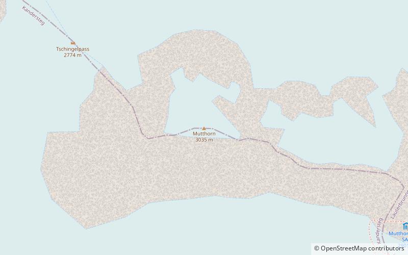
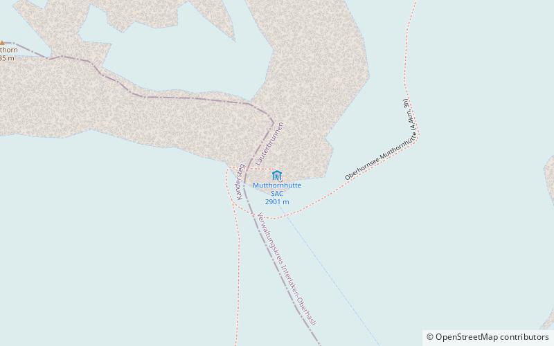
The Mutthorn Hut is a mountain hut of the Swiss Alpine Club, located between Kandersteg and Lauterbrunnen in the canton of Bern. It lies at a height of 2,900 metres above sea level, above the watershed between the Kander Glacier and the Tschingel Glacier, at the foot of the Mutthorn. ()
Coordinates: 46°29'11"N, 7°49'49"E
Location
Bern
ContactAdd
Social media
Add
Day trips