Pala da Tgiern, Vals

Map
Facts and practical information
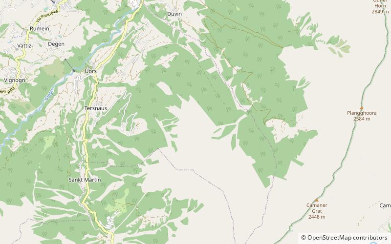
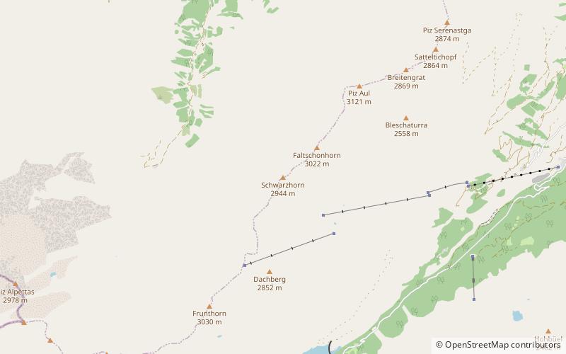
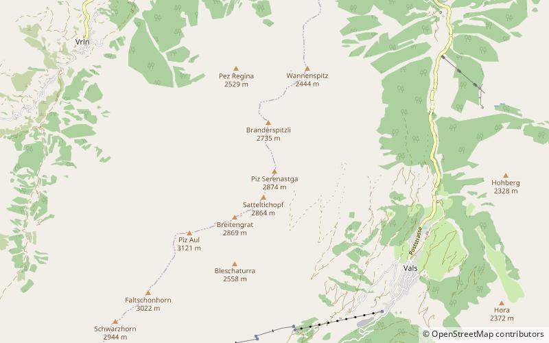
The Pala da Tgiern is a mountain of the Swiss Lepontine Alps, overlooking Suraua in the canton of Graubünden. It lies north of the Crap Grisch, in the Val Lumnezia. ()
Elevation: 7477 ftProminence: 243 ftCoordinates: 46°41'18"N, 9°13'9"E
Address
Vals
ContactAdd
Social media
Add
Day trips
Pala da Tgiern – popular in the area (distance from the attraction)
Nearby attractions include: Piz Fess, Castelberg Castle, Piz Mundaun, Schlüechtli.


