Möhlintal, Aargau Jura Park
Map

Map

Facts and practical information
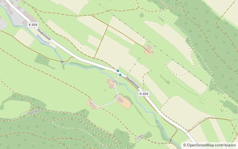
The Möhlintal is a 10-kilometre long valley running between Möhlin and Wegenstetten in the Rheinfelden district of Canton Aargau, Switzerland. The five municipalities in the valley have a total population of around 14,000 people. ()
Address
Aargau Jura Park
ContactAdd
Social media
Add
Day trips
Möhlintal – popular in the area (distance from the attraction)
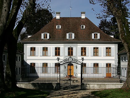
Nearby attractions include: Schloss Ebenrain, Farnsburg Castle, Bischofstein, Sissacherfluh Castle.
Frequently Asked Questions (FAQ)
How to get to Möhlintal by public transport?
The nearest stations to Möhlintal:
Bus
Bus
- Zuzgen Mühle • Lines: 89, N89 (1 min walk)
- Zuzgen Oberdorf • Lines: 89, N89 (14 min walk)


