Hardbrücke, Zurich
Map

Map

Facts and practical information
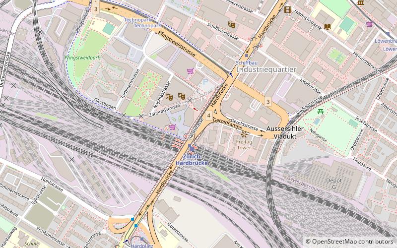
The Hardbrücke is a road bridge and important north-south connection in the Swiss city of Zürich. The bridge is 1,350 metres long, and crosses the river Limmat, the Zürich–Baden railway, and several streets. In crossing the river, the Hardbrücke forms an upper level to the lower level Wipkingerbrücke road bridge. Between the river and rail crossings, several exit and entrance ramps link the bridge to the streets below. ()
Day trips
Hardbrücke – popular in the area (distance from the attraction)
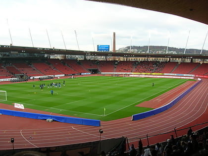
Nearby attractions include: Stadion Letzigrund, Bahnhof Letten, Museum of Design, Prime Tower.
Frequently Asked Questions (FAQ)
Which popular attractions are close to Hardbrücke?
Nearby attractions include Swissmill Tower, Zurich (1 min walk), Prime Tower, Zurich (2 min walk), Industriequartier, Zurich (5 min walk), Escher Wyss, Zurich (9 min walk).
How to get to Hardbrücke by public transport?
The nearest stations to Hardbrücke:
Train
Bus
Tram
Trolleybus
Ferry
Train
- Zürich Hardbrücke (2 min walk)
- Zürich Wipkingen (19 min walk)
Bus
- Bahnhof Hardbrücke • Lines: 83, N5, N8 (2 min walk)
- Schiffbau • Lines: 83, N8 (6 min walk)
Tram
- Bahnhof Hardbrücke • Lines: 8 (2 min walk)
- Schiffbau • Lines: 4, 8 (5 min walk)
Trolleybus
- Bahnhof Hardbrücke • Lines: 33, 72 (2 min walk)
- Schiffbau • Lines: 33, 72 (6 min walk)
Ferry
- Zürich Landesmuseum (31 min walk)
- Zürich Limmatquai (38 min walk)


