Rophaien

Gallery (1)
Map
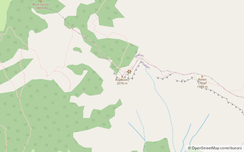
Map
Facts and practical information
The Rophaien is a mountain of the Schwyzer Alps, overlooking Lake Lucerne in the canton of Uri. It lies west of the Rossstock, at the western end of the range north of the Schächental. ()
Location
Uri
ContactAdd
Social media
Add
Day trips