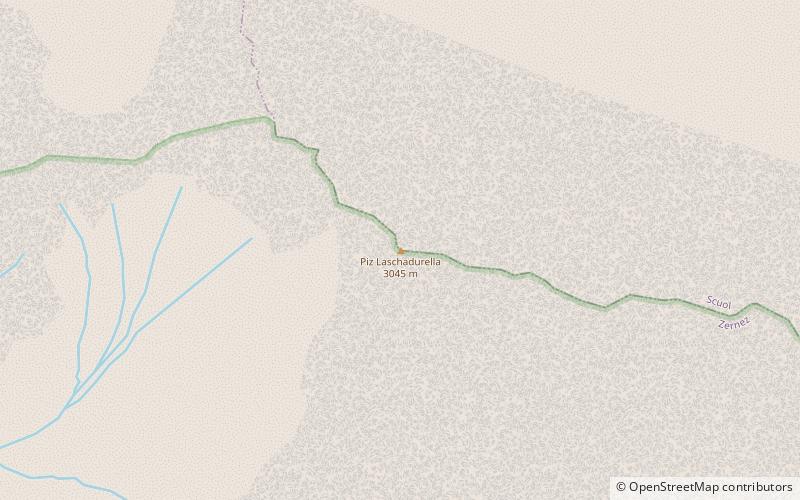
Guarda
Map
Map
Facts and practical information
Day trips
Guarda – popular in the area (distance from the attraction)
Nearby attractions include: Tarasp Castle, Steinsberg Castle, Lai da Tarasp, Wildenberg Castle.
#1505 among destinations in Switzerland
Nearby attractions include: Tarasp Castle, Steinsberg Castle, Lai da Tarasp, Wildenberg Castle.
132 min walk • Perched high on a rocky outcrop above the picturesque Swiss village of Scuol, Tarasp Castle stands as a sentinel over the Lower Engadine valley. This majestic fortress is a testament to the region's medieval history, and it is one of the most significant cultural...
64 min walk • Perched atop a hill in the Swiss canton of Aargau lies Steinsberg Castle, a historic fortress whose origins trace back to the early 12th century. Often referred to as the "Compass Rose of the Aargau" due to its distinctive eight-sided keep, the castle offers visitors a...
133 min walk • Lai da Tarasp is a lake at Tarasp in the Grisons, Switzerland. Its surface area is 2 ha.
150 min walk • Planta-Wildenberg Castle is a castle in the municipality of Zernez of the Canton of Graubünden in Switzerland. It is a Swiss heritage site of national significance.
128 min walk • Piz Buin is a mountain in the Silvretta range of the Alps on the border between Austria and Switzerland. It forms the border between the Swiss canton of Graubünden and the Austrian state of Vorarlberg and is the highest peak in Vorarlberg.
106 min walk • Piz Linard is a pyramid-shaped mountain of the Swiss Alps. At 3,410 m it is the highest peak of the Silvretta mountain range. It was first climbed on August 1, 1835, by the geologist and naturalist Oswald Heer led by Johann Madutz.
147 min walk • Piz Laschadurella is a mountain in the Sesvenna Range of the Alps, located east of Zernez in the canton of Graubünden. Its southern side is part of the Swiss National Park.
127 min walk • Piz Buin Pitschen or Kleiner Piz Buin is a peak in the Silvretta Alps. The Piz Buin Pitschen lies western of his higher neighbor the Piz Buin Grond or Großer Piz Buin.
146 min walk • The Signalhorn is a mountain of the Silvretta Alps, located on the border between Switzerland and Austria. It lies just east of the Silvretta Pass and is the tripoint between the regions of Prättigau and Engadin and Montafon.
146 min walk • Piz Minschun is a mountain of the Silvretta Alps, overlooking Scuol in the Swiss canton of Graubünden. From the heights of Scuol, a trail lead to the summit.
Where to next? Visit Graubünden region page or discover the top tourist attractions in Switzerland.