Signalhorn
#1144 among destinations in Switzerland
![Signalhorn location map](https://tzmedia.b-cdn.net/media/images/static-maps/ch/46_8488_10_0969.jpg)
Facts and practical information
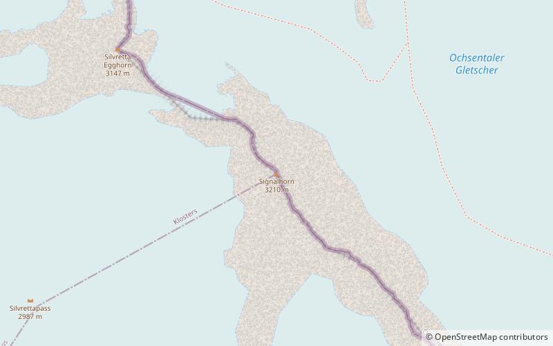
The Signalhorn is a mountain of the Silvretta Alps, located on the border between Switzerland and Austria. It lies just east of the Silvretta Pass and is the tripoint between the regions of Prättigau and Engadin and Montafon. ()
GraubündenSwitzerland
Signalhorn plan & book
Unleash the traveler in you — discover the cheapest flight deals, find the perfect hotel or hostel nearby, and search for the best car rental prices. Travel at your own pace to discover new places and enjoy your journey.
Signalhorn – popular in the area (distance from the attraction)
Nearby attractions include: Steinsberg Castle, Piz Buin, Piz Linard, Gross Litzner.
7.2 miSEForts and castlesSteinsberg Castle
185 min walk • Perched atop a hill in the Swiss canton of Aargau lies Steinsberg Castle, a historic fortress whose origins trace back to the early 12th century. Often referred to as the "Compass Rose of the Aargau" due to its distinctive eight-sided keep, the castle offers visitors a...
1.1 miENature, Natural attraction, MountainPiz Buin
28 min walk • Piz Buin is a mountain in the Silvretta range of the Alps on the border between Austria and Switzerland. It forms the border between the Swiss canton of Graubünden and the Austrian state of Vorarlberg and is the highest peak in Vorarlberg.
3.6 miSNature, Natural attraction, MountainPiz Linard
93 min walk • Piz Linard is a pyramid-shaped mountain of the Swiss Alps. At 3,410 m it is the highest peak of the Silvretta mountain range. It was first climbed on August 1, 1835, by the geologist and naturalist Oswald Heer led by Johann Madutz.
3.8 miNWNature, Natural attraction, MountainGross Litzner
97 min walk • The Gross Litzner is a mountain in the Silvretta Alps, located on the border between Austria and Switzerland. On the Swiss side, the mountain is in the canton of Graubünden, on the Austrian side in the state of Vorarlberg.
4.1 miNWNature, Natural attraction, MountainGross Seehorn
104 min walk • The Gross Seehorn is a mountain of the Silvretta Alps, located on the border between Austria and Switzerland. The Gross Seehorn is the westernmost mountain rising above 3,000 metres in Austria.
0.7 miNNature, Natural attraction, MountainSilvrettahorn
18 min walk • The Silvrettahorn is a mountain of the Silvretta Alps, located on the border between Switzerland and Austria. On its southern Swiss side it overlooks the Silvretta Glacier.
0.9 miSENature, Natural attraction, MountainPiz Buin Pitschen
23 min walk • Piz Buin Pitschen or Kleiner Piz Buin is a peak in the Silvretta Alps. The Piz Buin Pitschen lies western of his higher neighbor the Piz Buin Grond or Großer Piz Buin.
4.5 miSENature, Natural attraction, MountainPiz Cotschen
115 min walk • Piz Cotschen is a mountain of the Swiss Silvretta Alps, located north of Guarda and Ardez in the canton of Graubünden. It lies between the valleys of Val Tuoi and Val Tasna.
5.7 miSWNature, Natural attraction, MountainPiz Murtera
146 min walk • Piz Murtera is a mountain of the Silvretta Alps, overlooking Susch in the Swiss canton of Graubünden. It is the culminating point of the small group lying south of the Vereina Pass, between the Val Fless and the Val Sagliains.
2.6 miWHiking, Alpine hutSilvrettahütte SAC
68 min walk • The Silvretta Hut is a mountain hut of the St. Gallen Section of the Swiss Alpine Club, in the Swiss canton of Graubünden. It consists of two buildings, is located east of Klosters at an altitude of 2341 meters above sea level and below the...