Wallisellen, Zurich

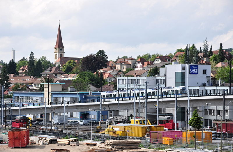
Gallery (3)
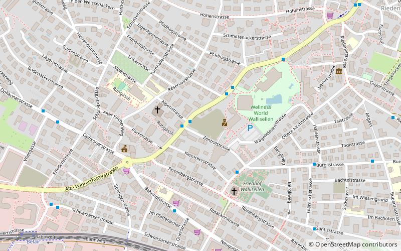
Map
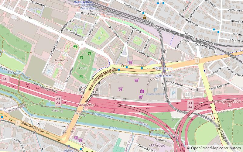
Map
Gallery
Facts and practical information
Wallisellen is a municipality in the district of Bülach in the canton of Zürich in Switzerland, and belongs to the Glatt Valley. ()
Getting there by public transportation
Public transportation stops near this location
- Bus
- Tram
- Train
 Bus
Bus
- Calculate routeGemeindehaus 1 min walk
- Calculate routeHallenbad 3 min walk
- Calculate routeWallisellen 8 min walk
- Calculate routeBahnhof Wallisellen 8 min walk
- Calculate routeBelair 11 min walk
- Calculate routeGlatt 15 min walk
- Calculate routeHerti 16 min walk
Day trips


Frequently Asked Questions (FAQ)
How to get to Wallisellen by public transport?
The nearest stations to Wallisellen:
Bus
Train
Tram
Bus
- Gemeindehaus • Lines: 771 (1 min walk)
- Hallenbad • Lines: 771 (3 min walk)
Train
- Wallisellen (8 min walk)
Tram
- Bahnhof Wallisellen • Lines: 12 (8 min walk)
- Belair • Lines: 12 (11 min walk)