Richti Wallisellen, Zurich

Map
Facts and practical information
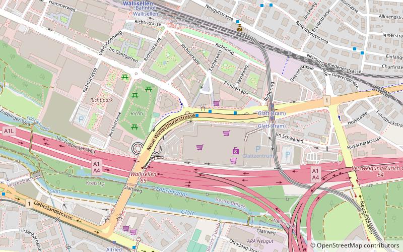
Richti Wallisellen is a mixed-use development on former industrial land situated between Wallisellen railway station and the 1970s-era Glattzentrum indoor shopping mall. ()
Address
Zurich
ContactAdd
Social media
Add
Day trips
Richti Wallisellen – popular in the area (distance from the attraction)
Nearby attractions include: Glattzentrum, Dübendorf, Wallisellen, Dietlikon.
Frequently Asked Questions (FAQ)
Which popular attractions are close to Richti Wallisellen?
Nearby attractions include Wallisellen, Zurich (15 min walk), Hirzenbach, Zurich (23 min walk).
How to get to Richti Wallisellen by public transport?
The nearest stations to Richti Wallisellen:
Bus
Tram
Train
Bus
- Glatt • Lines: 759, 787, 94 (1 min walk)
- Florastrasse • Lines: 759, 772 (6 min walk)
Tram
- Glatt • Lines: 12 (4 min walk)
- Bahnhof Wallisellen • Lines: 12 (8 min walk)
Train
- Wallisellen (8 min walk)
- Stettbach (21 min walk)


