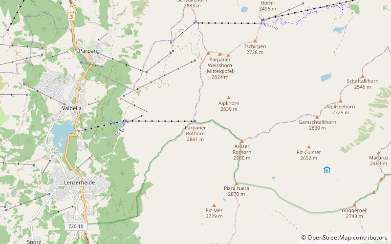
Parpaner Rothorn, Lenzerheide

Gallery (3)
Map
Map
Gallery
Facts and practical information
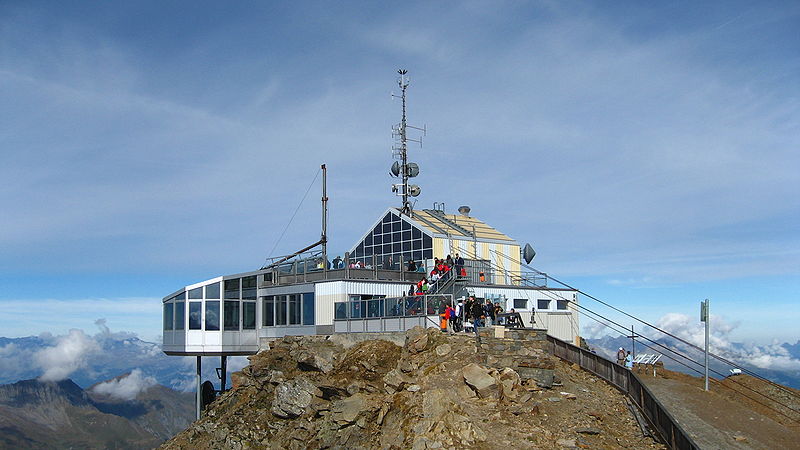
The Parpaner Rothorn is a mountain of the Plessur Alps, overlooking Parpan in the canton of Graubünden. The summit is easily accessible with a cable car from Lenzerheide, the upper station being located 30 metres below the main summit. ()
Day trips


