Sparrhorn

Gallery (1)
Map
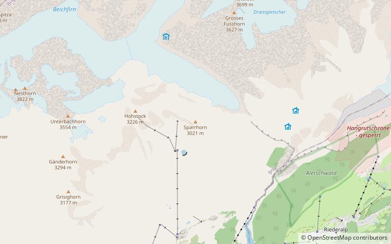
Map
Facts and practical information
The Sparrhorn is a mountain of the Bernese Alps, located north of Belalp in the canton of Valais. It lies at the eastern end of the range located south of the Oberaletsch Glacier, west of the Aletsch Glacier. ()
Location
Valais
ContactAdd
Social media
Add
Day trips