Lago della Sella
#266 among destinations in Switzerland


Facts and practical information
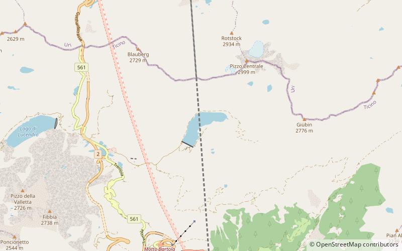
Lago della Sella is a reservoir near St. Gotthard Pass in the canton of Ticino, Switzerland. The gravity dam with a height of 36 m was completed in 1947. ()
TicinoSwitzerland
Lago della Sella plan & book
Unleash the traveler in you — discover the cheapest flight deals, find the perfect hotel or hostel nearby, and search for the best car rental prices. Travel at your own pace to discover new places and enjoy your journey.
Lago della Sella – popular in the area (distance from the attraction)
Nearby attractions include: Swiss Alps, Jugendherberge Hospental, Lago di Tom, Lago Ritom.
1.8 miWWinter sport, Ski areaSwiss Alps
47 min walk • Nestled in the heart of Europe, the Swiss Alps stand as an iconic testament to the pristine beauty and thrilling adventure that Switzerland has to offer. Known for their majestic peaks, the Alps provide a premier ski area that attracts winter sports enthusiasts from...
4.1 miNForts and castlesJugendherberge Hospental, Hospental
105 min walk • Hospental Castle or Langobarden Tower is a ruined medieval castle in the municipality of Hospental in the canton of Uri in Switzerland. It is a Swiss heritage site of national significance.
4.4 miENature, Natural attraction, LakeLago di Tom
112 min walk • Lago di Tom is a lake in the Piora Valley, in the canton of Ticino, Switzerland. Its surface area is 13 ha.
4.6 miENature, Natural attraction, LakeLago Ritom
117 min walk • Lago Ritom is a lake in the Piora valley, Ticino, Switzerland. The natural lake is used as a reservoir by the Swiss Federal Railways to generate hydro-electric power for the Gotthard line.
1.6 miWNatural attraction, Mountain, ParkGotthard Pass, Airolo
41 min walk • The Gotthard Pass or St. Gotthard Pass at 2,106 m is a mountain pass in the Alps traversing the Saint-Gotthard Massif and connecting northern with southern Switzerland.
3.3 miNNature, Natural attraction, MountainGemsstock
84 min walk • Gemsstock is a mountain of the Swiss Lepontine Alps, overlooking Andermatt in the canton of Uri. A glacier named Gurschenfirn lies over its northern flanks. The Gemsstock is a subpeak of the higher Chastelhorn, lying approximately one kilometre south-west.
2.8 miWNature, Natural attraction, LakeLago di Lucendro
71 min walk • Lago di Lucendo is a reservoir at the St. Gotthard Pass in the municipality of Airolo of the canton of Ticino, Switzerland. The dam Lucendro with a height of 73 m was completed in 1947.
5.1 miNENature, Natural attraction, MountainPiz Badus
131 min walk • Piz Badus or Six Madun is a mountain in the Lepontine Alps, lying on the border between the cantons of Uri and Graubünden. In its northwestern face, which is the Graubünden side, lies Tomasee, source of the Anterior Rhine.
4.1 miSWNature, Natural attraction, MountainPizzo Lucendro
106 min walk • Pizzo Lucendro is a 2,963-metre-high mountain in the Lepontine Alps, located on the border between the cantons of Uri and Ticino. It overlooks St. Gotthard Pass and Lake Lucendro on its east side.
1.3 miNENature, Natural attraction, MountainPizzo Centrale
33 min walk • Pizzo Centrale is a mountain in the Lepontine Alps, located on the border between the cantons of Uri and Ticino. At 2,999 metres above sea level, it is the highest summit overlooking Gotthard Pass from the east.
5.1 miENature, Natural attraction, MountainPiz Ravetsch
131 min walk • Piz Ravetsch is a mountain in the Lepontine Alps, located in Graubünden near the border with Ticino. Piz Ravetsch is the highest summit of the range that separates Val Maighels and the valley of Lake Curnera.