Lago di Chironico
#1194 among destinations in Switzerland

Facts and practical information
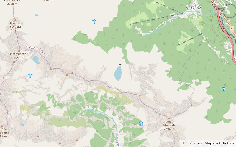
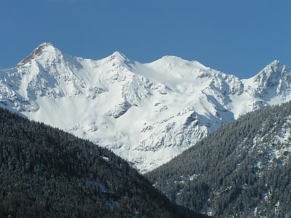
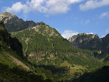
Lago di Chironico is an Alpine lake located above Chironico, in the Swiss canton Ticino. The lake lies at a height of 1,763 metres. Its surface area is 15 ha. ()
TicinoSwitzerland
Lago di Chironico – popular in the area (distance from the attraction)
Nearby attractions include: Pizzo Campo Tencia, Monte Zucchero, Pizzo Barone, Pizzo Forno.
 Nature, Natural attraction, Mountain
Pizzo Campo Tencia
108 min walk • Pizzo Campo Tencia is a mountain in the Lepontine Alps, which lies in the canton of Ticino, Switzerland. Pizzo Campo Tencia is the highest peak located entirely inside the canton.
 Nature, Natural attraction, Mountain
Monte Zucchero
128 min walk • Monte Zucchero is a mountain in the Lepontine Alps of Switzerland. It is located between Bignasco and Sonogno in the canton of Ticino.
 Nature, Natural attraction, Mountain
Pizzo Barone
72 min walk • Pizzo Barone is a mountain of the Lepontine Alps in Switzerland. It is located south of Pizzo Campo Tencia and is the highest summit of the Valle Verzasca in the canton of Ticino. From Sonogno a trail leads to the summit. South of the peak is a small lake named Lago Barone.
 Nature, Natural attraction, Mountain
Pizzo Forno
71 min walk • Pizzo Forno is a mountain of the Swiss Lepontine Alps, overlooking Chironico in the canton of Ticino. It is to be found between Piumogna Valley, Chironico Valley and Leventina Valley.
 Nature, Natural attraction, Mountain
Madom Gröss
65 min walk • The Madom Gröss is a mountain in the Lepontine Alps of Switzerland. It is located between the Valle Verzasca and Valle Leventina, near Sonogno, Ticino.
 Nature, Natural attraction, Natural feature
Lepontine Alps
47 min walk • The Lepontine Alps are a mountain range in the north-western part of the Alps. They are located in Switzerland and Italy. The Simplon rail tunnel the Gotthard rail and Gotthard road tunnels and the San Bernardino road tunnel are important transport arteries.
 Nature, Natural attraction, Mountain
Cima di Gagnone
136 min walk • Cima di Gagnone is a medium sized mountain in the Lepontine Alps it is located in the Swiss canton of Ticino. It is located between the valleys of Verzasca and Leventina, south of Passo di Gagnone.
 Sacred and religious sites, Church
Chiesa di San Nicolao, Giornico
91 min walk • The church of San Nicola was built in the 12th century. It stands in the middle of a vineyard on the right bank of the Ticino River in Giornico in Leventina in the Swiss canton of Ticino.
 Nature, Natural attraction, Mountain
Pizzo Erra
136 min walk • Pizzo Erra is a mountain of the Lepontine Alps, located in the Swiss canton of Ticino. It is located south of the pass of Basso di Nara, on the subrange that separates the main valley of Leventina from the valley of Blenio.
 Sacred and religious sites, Church
Chiesa di Santa Maria del Castello, Giornico
88 min walk • The church of Santa Maria di Castello stands on a prominent rocky hill to the west above the municipality of Giornico in Leventina in the Swiss canton of Ticino.
 Locality
Sonogno
84 min walk • Sonogno is a former municipality in the district of Locarno in the canton of Ticino in Switzerland. It is located in Valle Verzasca.