Pizzo Erra
Map
Map

Facts and practical information
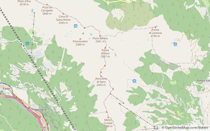
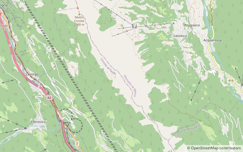
Pizzo Erra is a mountain of the Lepontine Alps, located in the Swiss canton of Ticino. It is located south of the pass of Basso di Nara, on the subrange that separates the main valley of Leventina from the valley of Blenio. At 2,416 metres above sea level, its summit can be accessed with trails from both western and eastern side. ()
Location
Ticino
ContactAdd
Social media
Add
Day trips
Pizzo Erra – popular in the area (distance from the attraction)
Nearby attractions include: Pizzo Forno, Pizzo Molare, Cima di Gana Bianca, Lago di Chironico.


