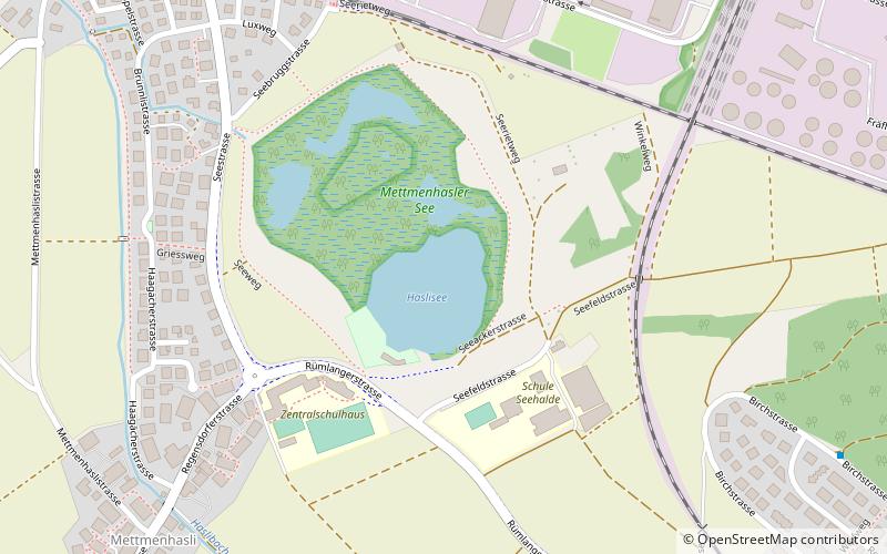
Mettmenhaslisee

Gallery (1)
Map
Map
Facts and practical information
Mettmenhaslisee is a lake located between Niederhasli and Mettmenhasli in the Canton of Zurich, Switzerland. Its surface area is 2.5 ha. ()
Alternative names: Area: 6.18 acres (0.0097 mi²)Maximum depth: 41 ftElevation: 1368 ft a.s.l.Coordinates: 47°28'28"N, 8°29'31"E
Location
Zürich
ContactAdd
Social media
Add
Day trips