Lägern

Gallery (2)
Map
Map
Gallery
Facts and practical information
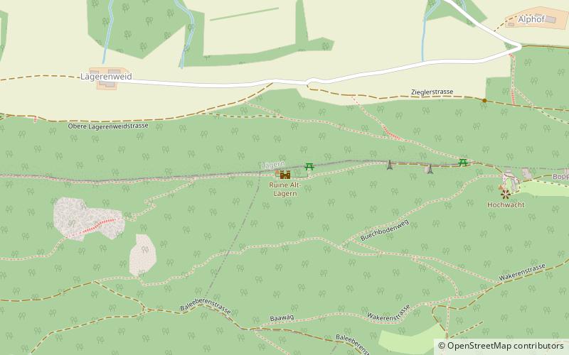
The Lägern is a wooded mountain of the Jura Mountains, stretching from Baden to Dielsdorf, about 15 km north-west of Zurich. The culminating point is located 1 km west of Hochwacht within the canton of Zurich, the border with the canton of Aargau running on a slightly lower summit named Burghorn. ()
Location
Zürich
ContactAdd
Social media
Add
Day trips


