Pizzo di Cadrèigh
#1846 among destinations in Switzerland

Facts and practical information
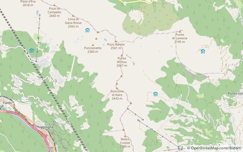
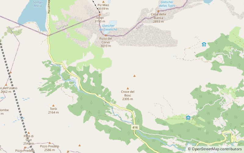
Pizzo di Cadrèigh is a mountain of the Swiss Lepontine Alps, located west of Olivone in the canton of Ticino. It lies south of the Scopi, between the Val di Campo and the Valle Santa Maria. ()
TicinoSwitzerland
Pizzo di Cadrèigh – popular in the area (distance from the attraction)
Nearby attractions include: Lago Retico, Lai da Sontga Maria, Sosto, Scopi.
 Nature, Natural attraction, Lake Nature, Natural attraction, Lake- Lago Retico- 79 min walk • Lago Retico is a lake in the canton Ticino, Switzerland. Its surface area is 8.5 ha. 
 Nature, Natural attraction, Lake Nature, Natural attraction, Lake- Lai da Sontga Maria- 76 min walk • Lai da Sontga Maria is a lake, located north of the Lukmanier Pass in Switzerland. It lies almost entirely in the municipality of Medel, a tiny fraction of the south-west part of the lake belonging to the municipalities of Quinto and Blenio. 
 Nature, Natural attraction, Mountain Nature, Natural attraction, Mountain- Sosto- 133 min walk • The Sosto is a mountain of the Swiss Lepontine Alps, overlooking Olivone in the canton of Ticino. It lies south of the lake of Luzzone and west of the Torrone di Nav. 
 Nature, Natural attraction, Mountain Nature, Natural attraction, Mountain- Scopi- 45 min walk • The Scopi is a 3,190-metre-high mountain in the Lepontine Alps, overlooking Lukmanier Pass on the border between the cantons of Ticino and Graubünden. A cable car connects the summit from the road of Lukmanier Pass below the dam, and on the top lies a radar and an air traffic control building, owned by the Swiss Army. 
 Nature, Natural attraction, Mountain Nature, Natural attraction, Mountain- Pizzo dell'Uomo- 80 min walk • Pizzo dell'Uomo is a mountain of the Lepontine Alps and part of the extended Saint-Gotthard Massif, located between Lai da Sontga Maria and Pizzo del Sole, in the canton of Ticino, just southwest of the Passo del Lucomagno. 
 Nature, Natural attraction, Mountain Nature, Natural attraction, Mountain- Piz Blas- 148 min walk • Piz Blas is a mountain in the Lepontine Alps, located on the border between the cantons of Graubünden and Ticino. At 3,019 metres above sea level, Piz Blas is the highest mountain of Val Cadlimo, a valley drained by the Reno da Medel, a tributary of the Rhine. 
 Nature, Natural attraction, Mountain Nature, Natural attraction, Mountain- Pizzo Molare- 108 min walk • Pizzo Molare is a mountain of the Lepontine Alps, overlooking Faido in the Swiss canton of Ticino. It is located on the chain between the main Leventina valley and the valley of Blenio. 
 Nature, Natural attraction, Mountain Nature, Natural attraction, Mountain- Piz Rondadura- 122 min walk • Piz Rondadura is a mountain in the Lepontine Alps in Switzerland, located on the border between the cantons of Graubünden and Ticino. It overlooks Lukmanier Pass and Lake Sontga Maria on its east side. 
 Nature, Natural attraction, Mountain pass Nature, Natural attraction, Mountain pass- Lukmanier Pass- 57 min walk • Lukmanier Pass is a pass in the Swiss Alps. The road from Disentis/Mustér in the canton of Graubünden leads through the Val Medel across the pass to the Blenio valley and Biasca in the canton of Ticino. 
 Nature, Natural attraction, Mountain Nature, Natural attraction, Mountain- Pizzo del Sole- 99 min walk • The Pizzo del Sole is a mountain of the Lepontine Alps in the Swiss canton of Ticino. With a height of 2,773 metres, it is the highest point of the Val Piora. On its southern side are located the lakes of Chiéra. 
 Nature, Natural attraction, Mountain Nature, Natural attraction, Mountain- Piz Medel- 150 min walk • Piz Medel is a mountain in the Lepontine Alps, located on the border between the cantons of Ticino and Graubünden. At 3,210 metres above sea level it is the highest summit on the chain between Lukmanier Pass and Crap la Crusch.