Lagginhorn

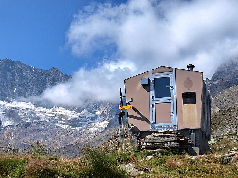
Gallery (2)
Map
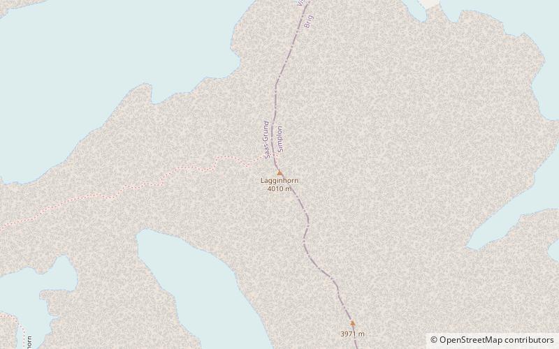
Map
Gallery
Facts and practical information
The Lagginhorn is a mountain in the Pennine Alps in Switzerland. It lies a few kilometres north of the slightly higher Weissmies and also close to the slightly lower Fletschhorn on the north. ()
Alternative names: First ascent: 1856Elevation: 13156 ftProminence: 1677 ftCoordinates: 46°9'25"N, 8°0'11"E
Location
Valais
ContactAdd
Social media
Add
Day trips