Portjengrat
Map

Map

Facts and practical information
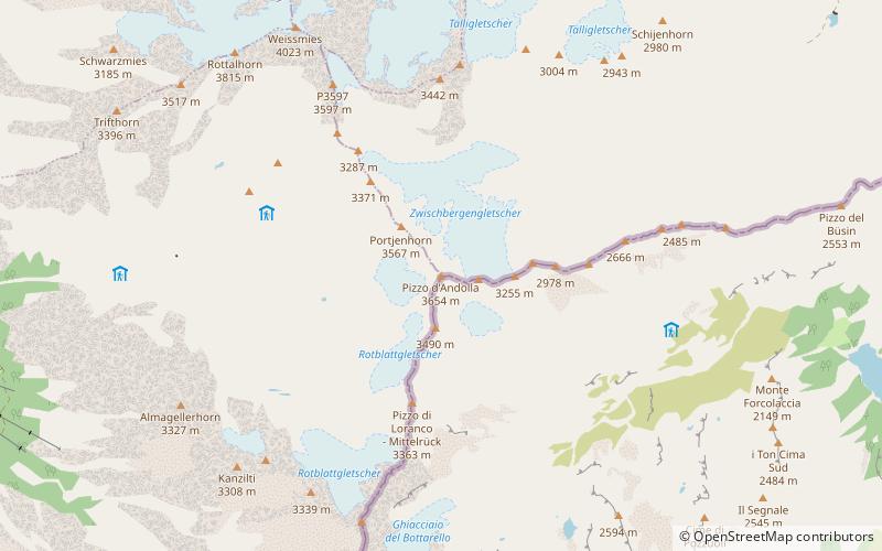
The Portjengrat is a mountain of the Pennine Alps, located on the border between Switzerland and Italy. It lies south of the Weissmies and the Zwischbergen Pass, where the international border diverges away from the main Alpine watershed. The summit of the Portjengrat has an elevation of 3,654 metres above sea level and is the tripoint between the valleys of Saas, Divedro and Antrona. It is the culminating point of the Antrona valley. ()
Local name: Pizzo d’Andolla First ascent: 1871Elevation: 11988 ftProminence: 1348 ftCoordinates: 46°6'3"N, 8°2'5"E
Location
Valais
ContactAdd
Social media
Add
Day trips
Portjengrat – popular in the area (distance from the attraction)
Nearby attractions include: Weissmies, Britannia Hut, Mattmarksee, Fletschhorn.


