Mueterschwanderberg
Map
Facts and practical information
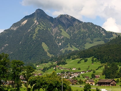
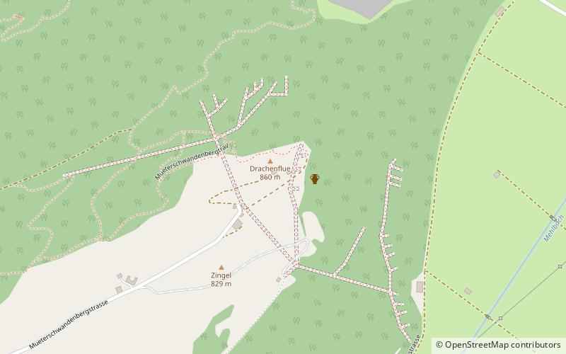
Mueterschwanderberg is a ridge forming the southern shore of Alpnachersee, just northwest of Stanserhorn and west of the village of Ennetmoos, Nidwalden, Switzerland. Its peak is at an elevation of 860 m. The peak is known as Drachenflue, with the Drachenloch cave nearby, named for the dragon which according to legend was slain here by Heinrich von Winkelried. ()
Coordinates: 46°57'15"N, 8°19'10"E
Location
Nidwalden
ContactAdd
Social media
Add
Day trips
Mueterschwanderberg – popular in the area (distance from the attraction)
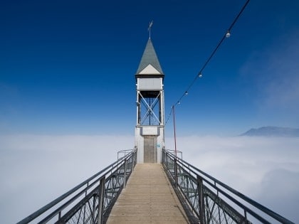
Nearby attractions include: Stanserhorn, Glasi Hergiswil, Pilatus Mountain, Hammetschwand-Lift.
